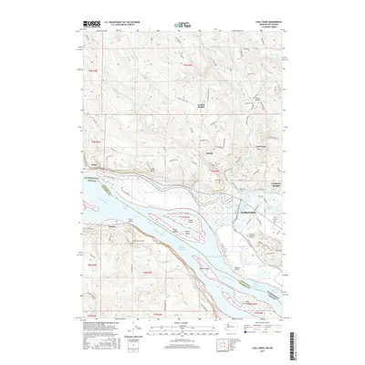
2017 Map of Coal Creek
USGS Topo · Published 2017About this map
The Columbia River serves as the focal point of this coastal landscape, defining the state boundary between Washington and Oregon. Along the northern bank, the city of Longview expands toward the river's edge, transitioning from the residential slopes of Longview Heights down to a complex system of industrial and agricultural drainage, including Ditch Number Five and Ditch Number Six. The river itself is fragmented by substantial landforms such as Fisher Island, Walker Island, and Lord Island, which are separated from the mainland by a series of deep channels and sloughs like Solo Slough.
Find a feature on this map
110 named features on this map. Tap any name to fly to it.
Don’t see what you’re looking for? This feature index may not catch every label — zoom into the map to look around manually.
Map Details
Editions of this 2017 Coal Creek Map
This is the sole edition of this map. No revisions or reprints were ever made.
Other maps of this area

1919 · Mayger
USGS Topo · 1:62,500

1921 · Kalama
USGS Topo · 1:62,500

1941 · Olequa
USGS Topo · 1:62,500

1941 · Clatskanie
USGS Topo · 1:62,500

1952 · Clatskanie
USGS Topo · 1:62,500

1953 · Hoquiam
USGS Topo · 1:250,000

1953 · Castle Rock
USGS Topo · 1:62,500

1953 · Ryderwood
USGS Topo · 1:62,500

1953 · Rainier
USGS Topo · 1:24,000
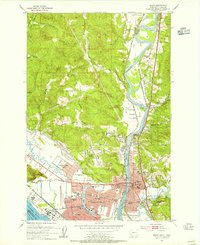
1953 · Kelso
USGS Topo · 1:24,000