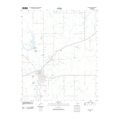
2009 Map of Coalgate
USGS Topo · Published 2009About this map
Coalgate serves as the central hub of this Coal County landscape, where the town's grid meets a complex network of waterways and industrial sites. The surrounding terrain is defined by the winding course of Muddy Boggy Creek and its many tributaries, including Coon Creek, Caney Creek, and Sulphur Creek. This geography is punctuated by several man-made water bodies and infrastructure projects such as Gill Lake, Bill Lake Dam, and the Cook Lake Dam, reflecting local water management and recreation patterns in the early 21st century.
Find a feature on this map
34 named features on this map. Tap any name to fly to it.
Don’t see what you’re looking for? This feature index may not catch every label — zoom into the map to look around manually.
Map Details
Editions of this 2009 Coalgate Map
This is the sole edition of this map. No revisions or reprints were ever made.
Other maps of this area

1896 · Coalgate
USGS Topo · 1:125,000

1899 · Coalgate
USGS Topo · 1:125,000

1899 · Atoka
USGS Topo · 1:125,000

1900 · Atoka
USGS Topo · 1:125,000

1900 · Coalgate
USGS Topo · 1:125,000

1956 · Stringtown
USGS Topo · 1:24,000

1957 · Coalgate
USGS Topo · 1:24,000

1957 · Lehigh
USGS Topo · 1:24,000

1957 · Coalgate SE
USGS Topo · 1:24,000

1957 · Centrahoma
USGS Topo · 1:24,000