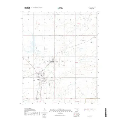
2018 Map of Coalgate
USGS Topo · Published 2018About this map
The Oklahoma town of Coalgate serves as the central hub of this Coal County survey, displaying a detailed street grid including Lafayette Ave, W Ohio Ave, and Nixon Rd. The settlement pattern extends to the surrounding communities of Cottonwood, Phillips, and the rural area near Cairo. Local genealogy is well-documented through the presence of several burial sites, such as Coalgate Cem, Calvary Cem, and Woodman Cem.
Find a feature on this map
64 named features on this map. Tap any name to fly to it.
Don’t see what you’re looking for? This feature index may not catch every label — zoom into the map to look around manually.
Map Details
Editions of this 2018 Coalgate Map
This is the sole edition of this map. No revisions or reprints were ever made.
Other maps of this area

1896 · Coalgate
USGS Topo · 1:125,000

1899 · Coalgate
USGS Topo · 1:125,000

1899 · Atoka
USGS Topo · 1:125,000

1900 · Atoka
USGS Topo · 1:125,000

1900 · Coalgate
USGS Topo · 1:125,000

1956 · Stringtown
USGS Topo · 1:24,000

1957 · Coalgate
USGS Topo · 1:24,000

1957 · Lehigh
USGS Topo · 1:24,000

1957 · Coalgate SE
USGS Topo · 1:24,000

1957 · Centrahoma
USGS Topo · 1:24,000