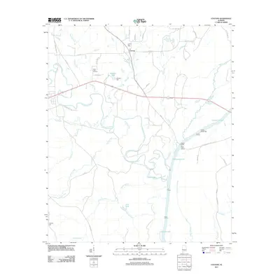
2011 Map of Coatopa
USGS Topo · Published 2011About this map
Coatopa and the surrounding river bottomlands of Sumter County are defined by an intricate network of waterways and landings. The Sucarnoochee River meanders across the landscape, joined by numerous tributaries including Ponkabia Creek, Soctum Creek, and Tallyhaly Creek. This area's history is deeply connected to these waters, evidenced by several river access points such as Rooster Bridge, Hearts Upper Landing, and Deans Landing. These features suggest a legacy of river-based transport and regional connectivity long before modern highways crossed the terrain.
Find a feature on this map
52 named features on this map. Tap any name to fly to it.
Don’t see what you’re looking for? This feature index may not catch every label — zoom into the map to look around manually.
Map Details
Editions of this 2011 Coatopa Map
This is the sole edition of this map. No revisions or reprints were ever made.
Other maps of this area

1929 · Epes
USGS Topo · 1:48,000

1932 · Epes
USGS Topo · 1:62,500

1948 · Mc Dowell
USGS Topo · 1:24,000

1949 · Mc Dowell
USGS Topo · 1:24,000

1953 · Montgomery
USGS Topo · 1:250,000

1953 · Meridian
USGS Topo · 1:250,000

1956 · Montgomery
USGS Topo · 1:250,000

1957 · Meridian
USGS Topo · 1:250,000

1957 · Montgomery
USGS Topo · 1:250,000

1965 · Meridian
USGS Topo · 1:250,000