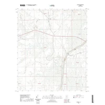
2020 Map of Coatopa
USGS Topo · Published 2020About this map
Coatopa and Moscow anchor this landscape along the border of Sumter and Marengo counties, where the Sucarnoochee River winds through extensive wetlands and bottomlands. The river is a central geographic feature, joined by numerous tributaries including Coato pa Cr, Sectum Cr, and Tallyhaly Cr. These waterways create a complex drainage system characterized by named features such as Duck Pond, Griffin Lake, and Mcgregor Lake. Local history is preserved at the Mount Tabor Cem near the northern edge of the map, while the crossing at Rooster Bridge serves as a vital transit point over the river.
Find a feature on this map
57 named features on this map. Tap any name to fly to it.
Don’t see what you’re looking for? This feature index may not catch every label — zoom into the map to look around manually.
Map Details
Editions of this 2020 Coatopa Map
This is the sole edition of this map. No revisions or reprints were ever made.
Other maps of this area

1929 · Epes
USGS Topo · 1:48,000

1932 · Epes
USGS Topo · 1:62,500

1948 · Mc Dowell
USGS Topo · 1:24,000

1949 · Mc Dowell
USGS Topo · 1:24,000

1953 · Montgomery
USGS Topo · 1:250,000

1953 · Meridian
USGS Topo · 1:250,000

1956 · Montgomery
USGS Topo · 1:250,000

1957 · Meridian
USGS Topo · 1:250,000

1957 · Montgomery
USGS Topo · 1:250,000

1965 · Meridian
USGS Topo · 1:250,000