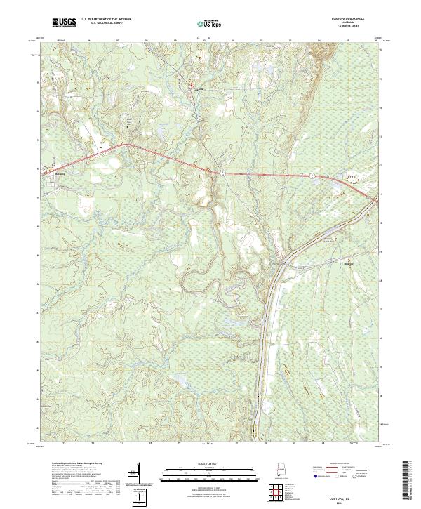
2024 Map of Coatopa
USGS Topo · Published 2024About this map
Coatopa and the neighboring settlements of Bellamy and Moscow sit at the intersection of Alabama's Black Belt river geography and early inland transport routes. The Tombigbee River serves as the dominant eastern boundary, joined by the winding Sucarnoochee River and smaller tributaries like Tallyhaty Creek and Ponkabia Creek. This modern survey records the enduring footprint of rural infrastructure, from the historic Moscow Ferry site and Old Rooster Bridge Rd to the quiet Mount Tabor Cem near Mcgregor Lake.
Find a feature on this map
56 named features on this map. Tap any name to fly to it.
Don’t see what you’re looking for? This feature index may not catch every label — zoom into the map to look around manually.
Map Details
Editions of this 2024 Coatopa Map
This is the sole edition of this map. No revisions or reprints were ever made.
Other maps of this area

1929 · Epes
USGS Topo · 1:48,000

1932 · Epes
USGS Topo · 1:62,500

1948 · Mc Dowell
USGS Topo · 1:24,000

1949 · Mc Dowell
USGS Topo · 1:24,000

1953 · Montgomery
USGS Topo · 1:250,000

1953 · Meridian
USGS Topo · 1:250,000

1956 · Montgomery
USGS Topo · 1:250,000

1957 · Meridian
USGS Topo · 1:250,000

1957 · Montgomery
USGS Topo · 1:250,000

1965 · Meridian
USGS Topo · 1:250,000