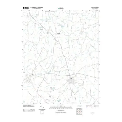
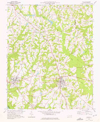
2010 Map of Coats
USGS Topo · Published 2010About this map
Coats and the historic settlement of Barclaysville anchor this portion of the North Carolina landscape, where the upper reaches of the Black River and its tributaries carve a network through the coastal plain. The terrain is defined by a series of managed water bodies, including Popes Lake, Chesterfield Lake, and Guys Pond, each showing the local reliance on dams for water management and recreation. To the west, Buies Creek flows toward the Cape Fear River, passing near the Johnson Cemetery and the campus environments that characterize this region.
Find a feature on this map
78 named features on this map. Tap any name to fly to it.
Don’t see what you’re looking for? This feature index may not catch every label — zoom into the map to look around manually.
Map Details
Editions of this 2010 Coats Map
This is the sole edition of this map. No revisions or reprints were ever made.
Other maps of this area

1953 · Raleigh
USGS Topo · 1:250,000

1954 · Raleigh
USGS Topo · 1:250,000
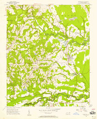
1956 · Bunnlevel
USGS Topo · 1:24,000
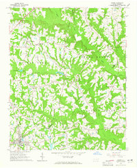
1964 · Angier
USGS Topo · 1:24,000
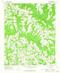
1964 · Edmondson
USGS Topo · 1:24,000
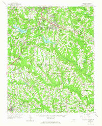
1964 · Garner
USGS Topo · 1:62,500
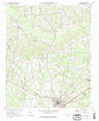
1973 · Benson
USGS Topo · 1:24,000
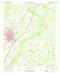
1973 · Dunn
USGS Topo · 1:24,000
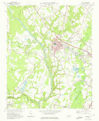
1973 · Erwin
USGS Topo · 1:24,000
1973 · Coats
USGS Topo · 1:24,000