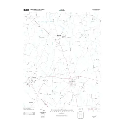
2013 Map of Coats
USGS Topo · Published 2013About this map
Coats and the educational hub of Buies Creek anchor this section of the coastal plain, where the landscape is defined by the winding course of the Black River and its numerous tributaries. By the early 21st century, the area shows a distinct aviation profile with three active landing sites, ranging from the large Harnett Regional Jetport Airport to smaller private strips like Barclaysville Field Airport and C A G Farms Airport. The rural character of Barclaysville persists among several significant water bodies, including Chesterfield Lake and Holts Lake, which point to a history of water management and recreation in this part of Harnett County. Local drainage is dominated by creek networks such as E Buies Cr and Thorntons Cr, which traverse the flat terrain between established road corridors like Old Stage Rd N.
Find a feature on this map
193 named features on this map. Tap any name to fly to it.
Don’t see what you’re looking for? This feature index may not catch every label — zoom into the map to look around manually.
Map Details
Editions of this 2013 Coats Map
This is the sole edition of this map. No revisions or reprints were ever made.
Other maps of this area

1953 · Raleigh
USGS Topo · 1:250,000

1954 · Raleigh
USGS Topo · 1:250,000

1956 · Bunnlevel
USGS Topo · 1:24,000

1964 · Angier
USGS Topo · 1:24,000

1964 · Edmondson
USGS Topo · 1:24,000

1964 · Garner
USGS Topo · 1:62,500

1973 · Benson
USGS Topo · 1:24,000

1973 · Dunn
USGS Topo · 1:24,000

1973 · Erwin
USGS Topo · 1:24,000

1973 · Coats
USGS Topo · 1:24,000