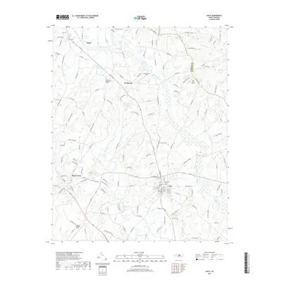
2019 Map of Coats
USGS Topo · Published 2019About this map
Coats and Angier anchor this section of the Coastal Plain, where a network of family-named roads and drainage tributaries defines the rural landscape. The winding course of the Black River serves as a primary geographic feature, joined by smaller waters like Thorntons Cr, McCullens Br, and Juniper Cr. This 2019 survey shows the continued importance of agricultural and light aviation infrastructure, evidenced by Barclaysville Field and the C/A G Farms Airport.
Find a feature on this map
149 named features on this map. Tap any name to fly to it.
Don’t see what you’re looking for? This feature index may not catch every label — zoom into the map to look around manually.
Map Details
Editions of this 2019 Coats Map
This is the sole edition of this map. No revisions or reprints were ever made.
Other maps of this area

1953 · Raleigh
USGS Topo · 1:250,000

1954 · Raleigh
USGS Topo · 1:250,000

1956 · Bunnlevel
USGS Topo · 1:24,000

1964 · Angier
USGS Topo · 1:24,000

1964 · Edmondson
USGS Topo · 1:24,000

1964 · Garner
USGS Topo · 1:62,500

1973 · Benson
USGS Topo · 1:24,000

1973 · Dunn
USGS Topo · 1:24,000

1973 · Erwin
USGS Topo · 1:24,000

1973 · Coats
USGS Topo · 1:24,000