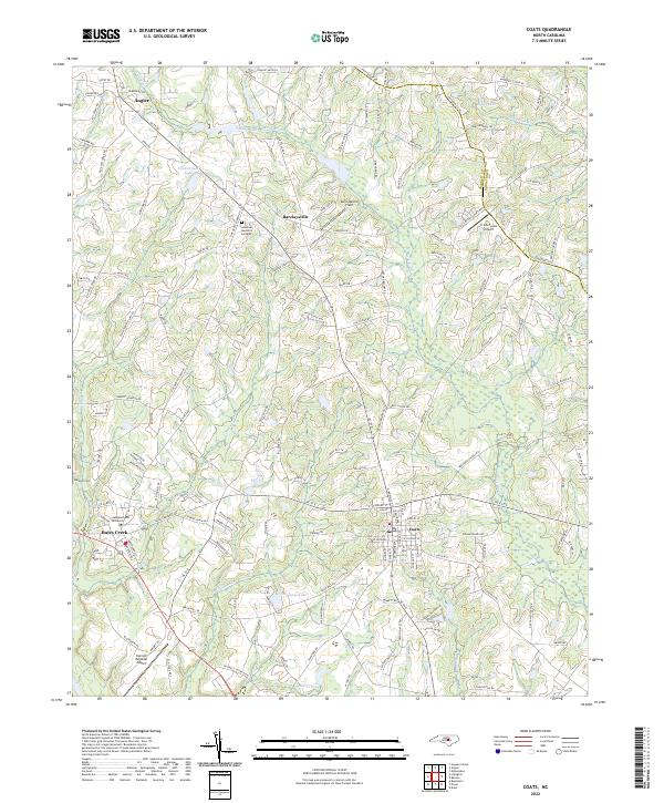
2022 Map of Coats
USGS Topo · Published 2022About this map
Campbell University and the surrounding town of Buies Creek anchor the southwestern portion of this landscape, reflecting a region defined by agricultural heritage and educational growth. To the north, the town of Angier sits near the headwaters of the Black River, while the town of Coats occupies the southeastern sector. The area is characterized by a network of creeks and ponds, including Guys Pond, Thorntons Cr, and Stewart Cr, which drain the rolling terrain of the Harnett and Johnston county line. Local transportation and aviation are represented by the Harnett Regional Jetport and the smaller C A G Farms Airport. Smaller historic settlements like Barclaysville and landmarks such as the Johnson Cem offer specific points of interest for those tracing family history or the development of rural North Carolina crossroads.
Find a feature on this map
152 named features on this map. Tap any name to fly to it.
Don’t see what you’re looking for? This feature index may not catch every label — zoom into the map to look around manually.
Map Details
Editions of this 2022 Coats Map
This is the sole edition of this map. No revisions or reprints were ever made.
Other maps of this area

1953 · Raleigh
USGS Topo · 1:250,000

1954 · Raleigh
USGS Topo · 1:250,000

1956 · Bunnlevel
USGS Topo · 1:24,000

1964 · Angier
USGS Topo · 1:24,000

1964 · Edmondson
USGS Topo · 1:24,000

1964 · Garner
USGS Topo · 1:62,500

1973 · Benson
USGS Topo · 1:24,000

1973 · Dunn
USGS Topo · 1:24,000

1973 · Erwin
USGS Topo · 1:24,000

1973 · Coats
USGS Topo · 1:24,000