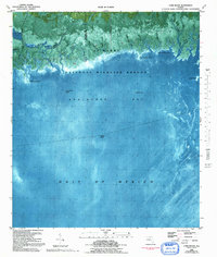
1982 Map of Cobb Rocks
USGS Topo · Published 1992About this map
St Marks National Wildlife Refuge dominates the coastal interface of Jefferson and Wakulla counties in this orthophotomap, showing the intricate tidal network of the Florida Panhandle during the early 1980s. The landscape is defined by a labyrinth of salt marshes and brackish channels, such as the Pinhook River and the Pinhook Cut-off, which weave through the low-lying wetlands before emptying into Apalachee Bay. The map provides a detailed view of the transition from dense swamp to open water, marked by distinctive coastal features like Palmetto Island and Big Redfish Point.
Find a feature on this map
29 named features on this map. Tap any name to fly to it.
Don’t see what you’re looking for? This feature index may not catch every label — zoom into the map to look around manually.
Map Details
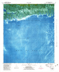
Editions of this 1982 Cobb Rocks Map
2 editions found
Other maps of this area

1949 · Apalachicola
USGS Topo · 1:250,000

1954 · Sprague Island
USGS Topo · 1:24,000

1954 · St. Marks NE
USGS Topo · 1:24,000

1954 · St. Marks
USGS Topo · 1:24,000

1954 · Cobb Rocks
USGS Topo · 1:24,000

1954 · Gainesville
USGS Topo · 1:250,000

1954 · Valdosta
USGS Topo · 1:250,000

1954 · Tallahassee
USGS Topo · 1:250,000

1955 · Snipe Island
USGS Topo · 1:24,000

1955 · Nutall Rise
USGS Topo · 1:24,000