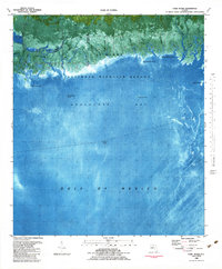
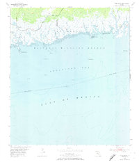
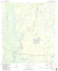
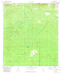
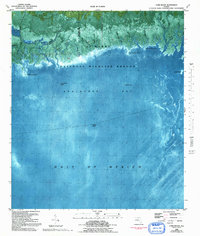
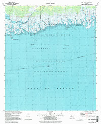
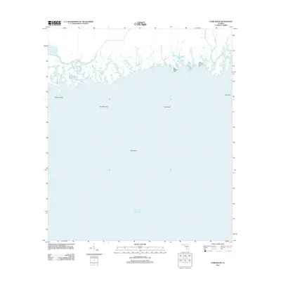
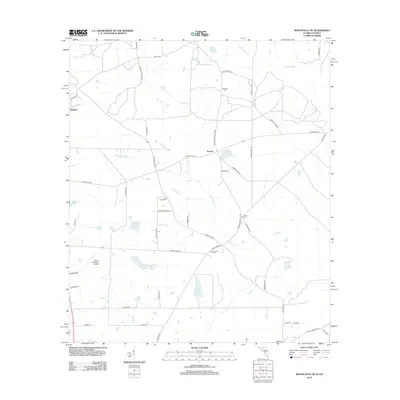
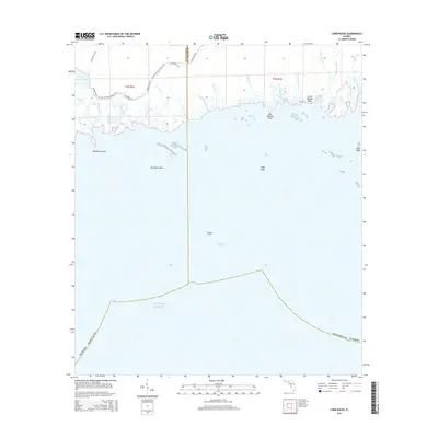
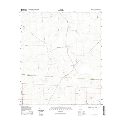
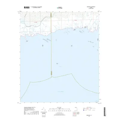
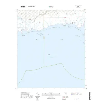
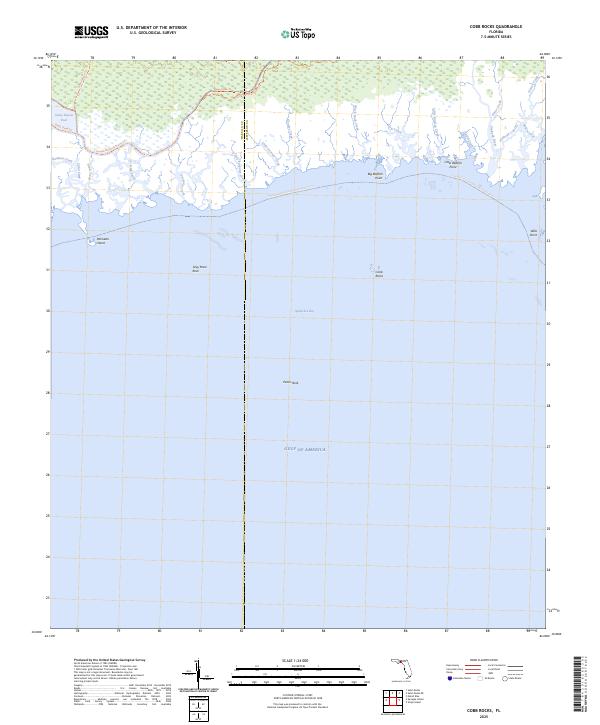
1982 Map of Cobb Rocks
USGS Topo · Published 1984About this map
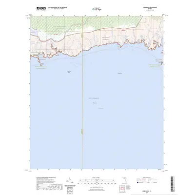
St Marks National Wildlife Refuge dominates this coastal landscape where the low-lying wetlands of Jefferson and Wakulla counties meet the Gulf of Mexico. The shoreline is a complex labyrinth of tidal creeks and marshes, notably around the Pinhook River and its Pinhook Cut-off. This 1980s-era orthophotomap reveals the intricate drainage patterns of the coastal fringe, including Stony Bayou Pools and numerous named waterways like Grooms Creek and Little Redfish Cr. Extending into Apalachee Bay, the map identifies hazardous navigational landmarks such as Grey Mare Rock, Peters Rock, and the titular Cobb Rocks. The transition from terrestrial marsh to open water is marked by distinctive features like Palmetto Island and Big Redfish Point, illustrating the undeveloped nature of this protected Gulf Coast wilderness during the late twentieth century.
Find a feature on this map
29 named features on this map. Tap any name to fly to it.
Don’t see what you’re looking for? This feature index may not catch every label — zoom into the map to look around manually.
Map Details
Editions of this 1982 Cobb Rocks Map
2 editions found
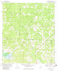
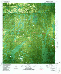
Historical Maps of Wakulla County Through Time
56 maps found
1954 Cobb Rocks
Jefferson County, FL
1954 Cody
Jefferson County, FL
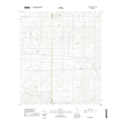
1954 St Marks NE
Jefferson County, FL

1955 Lamont SE
Jefferson County, FL
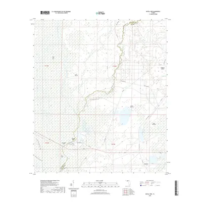
1955 Nutall Rise
Jefferson County, FL
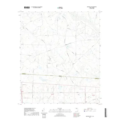
1956 Monticello NE
Jefferson County, FL
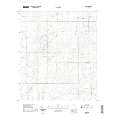
1962 Ashville
Jefferson County, FL
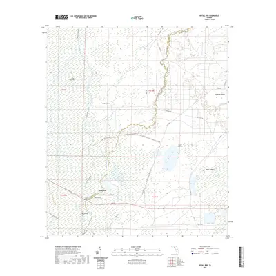
1963 Lake Miccosukee
Jefferson County, FL
1981 Cody
Jefferson County, FL
1982 Cobb Rocks
Jefferson County, FL
1982 Miccosukee NE
Jefferson County, FL
1982 St. Marks NE
Jefferson County, FL
1994 Cobb Rocks
Jefferson County, FL
1994 Miccosukee NE
Jefferson County, FL
2011 Monticello NE
Jefferson County, FL
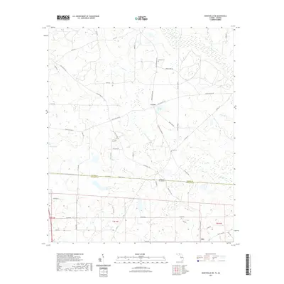
2012 Ashville
Jefferson County, FL
2012 Cobb Rocks
Jefferson County, FL
2012 Cody
Jefferson County, FL
2012 Lake Miccosukee
Jefferson County, FL
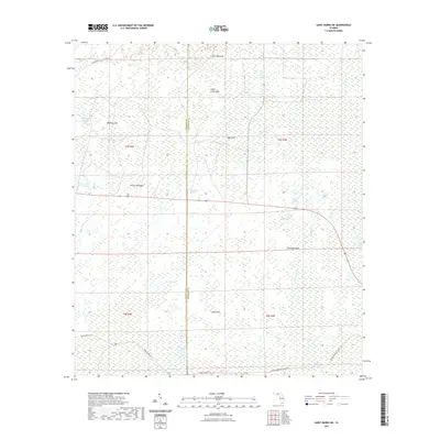
2012 Lamont SE
Jefferson County, FL
2012 Monticello NE
Jefferson County, FL
2012 Nutall Rise
Jefferson County, FL
2012 Saint Marks NE
Jefferson County, FL
2015 Ashville
Jefferson County, FL
2015 Cobb Rocks
Jefferson County, FL
2015 Cody
Jefferson County, FL
2015 Lake Miccosukee
Jefferson County, FL
2015 Lamont SE
Jefferson County, FL
2015 Monticello NE
Jefferson County, FL
2015 Nutall Rise
Jefferson County, FL
2015 Saint Marks NE
Jefferson County, FL
2018 Ashville
Jefferson County, FL
2018 Cobb Rocks
Jefferson County, FL
2018 Cody
Jefferson County, FL
2018 Lake Miccosukee
Jefferson County, FL
2018 Lamont SE
Jefferson County, FL
2018 Monticello NE
Jefferson County, FL
2018 Nutall Rise
Jefferson County, FL
2018 Saint Marks NE
Jefferson County, FL
2021 Ashville
Jefferson County, FL
2021 Cobb Rocks
Jefferson County, FL
2021 Cody
Jefferson County, FL
2021 Lake Miccosukee
Jefferson County, FL
2021 Lamont SE
Jefferson County, FL
2021 Monticello NE
Jefferson County, FL
2021 Nutall Rise
Jefferson County, FL
2021 Saint Marks NE
Jefferson County, FL

2024 Ashville
Jefferson County, FL
2024 Cobb Rocks
Jefferson County, FL
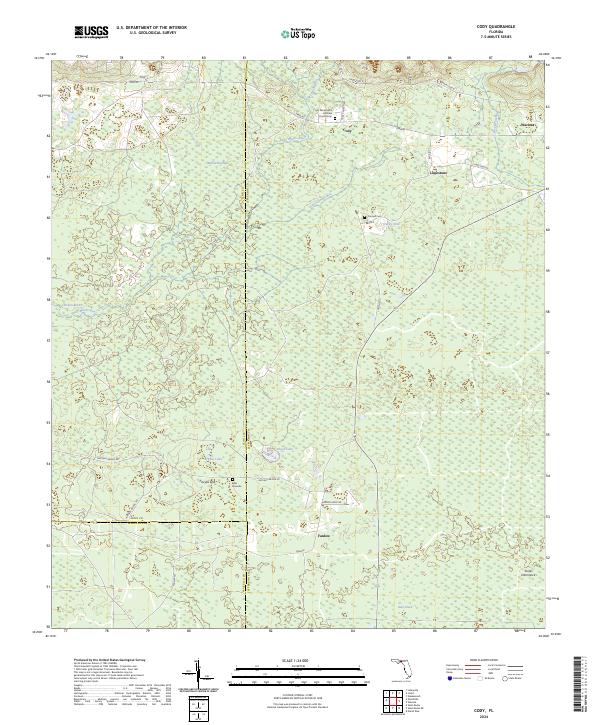
2024 Cody
Jefferson County, FL
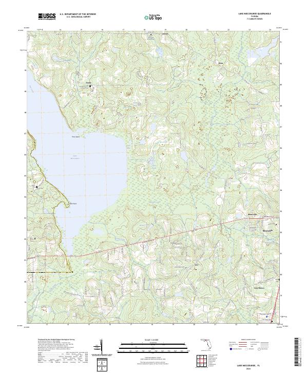
2024 Lake Miccosukee
Jefferson County, FL
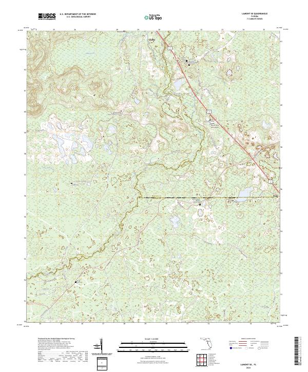
2024 Lamont SE
Jefferson County, FL
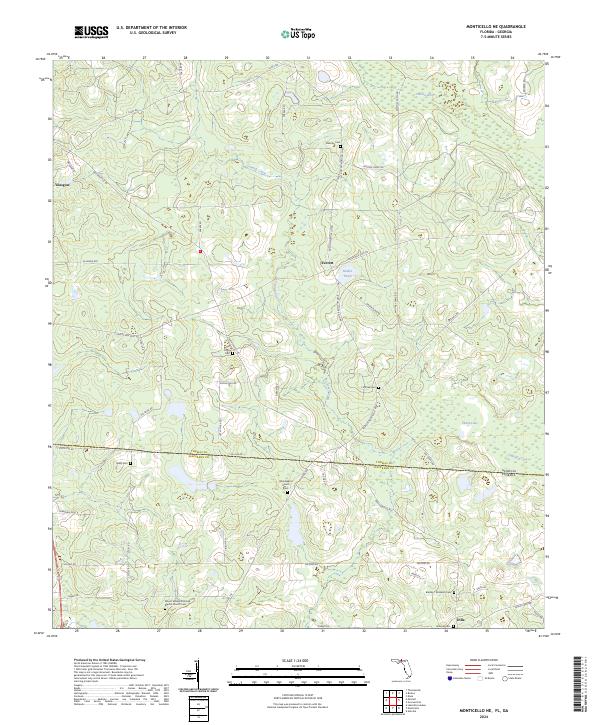
2024 Monticello NE
Jefferson County, FL
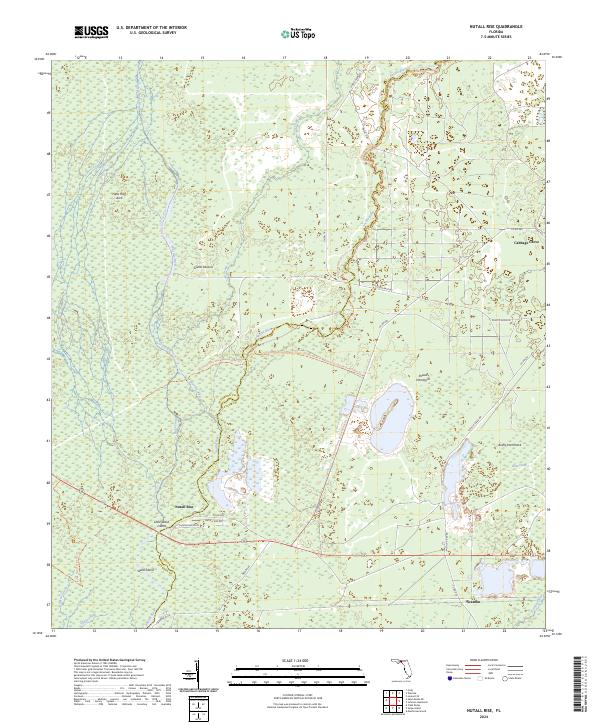
2024 Nutall Rise
Jefferson County, FL
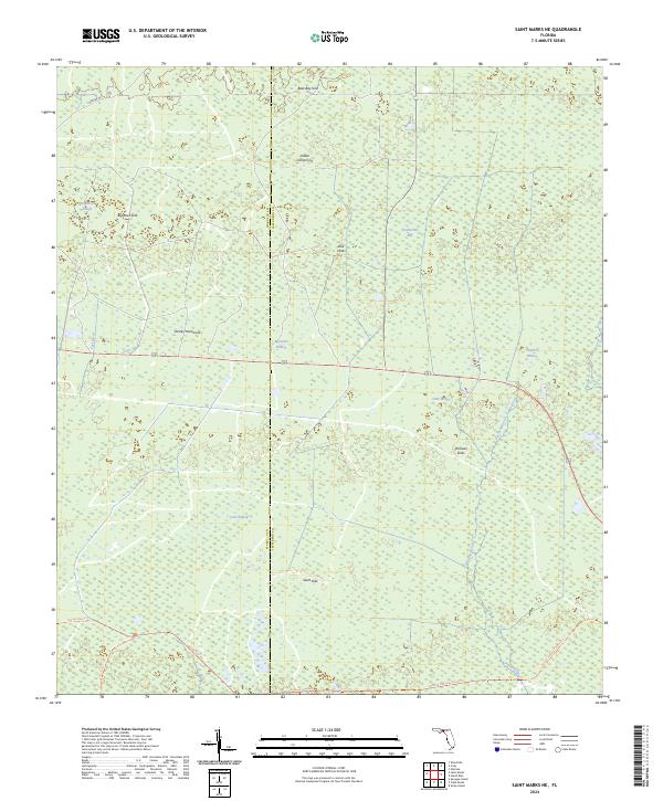
2024 Saint Marks NE
Jefferson County, FL
2025 Cobb Rocks
Jefferson County, FL