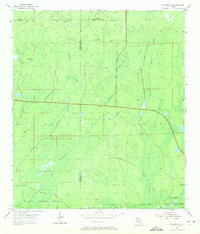
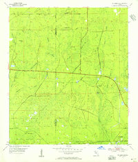
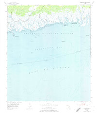
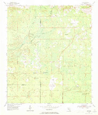
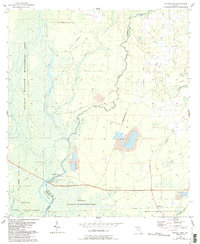
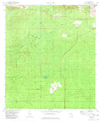
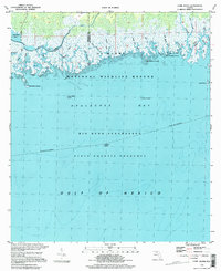
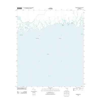
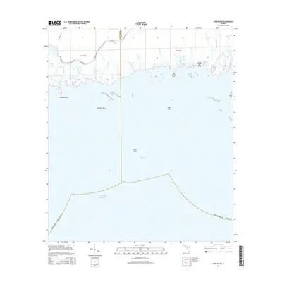
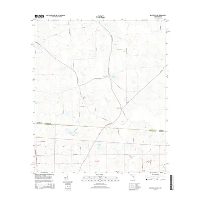
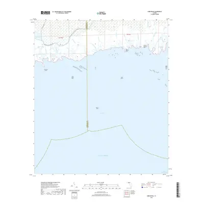
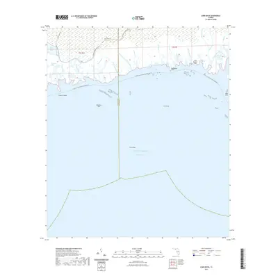
1954 Map of St Marks NE
USGS Topo · Published 1972About this map
St Marks National Wildlife Refuge anchors the southern portion of this landscape, where the boundary between Wakulla and Jefferson Counties meets the complex hydrology of the Florida Panhandle. The area is defined by its karst topography and extensive wetland systems, most notably the sprawling Gum Swamp and the unique limestone formations of Pinhook Sinks. These sinks, along with named features like Bear Bay Sink and Big Rock Sink, provide a glimpse into the subterranean water movements that characterize this region before it reaches the Pinhook River.
Find a feature on this map
19 named features on this map. Tap any name to fly to it.
Don’t see what you’re looking for? This feature index may not catch every label — zoom into the map to look around manually.
Map Details
Editions of this 1954 St Marks NE Map
2 editions found
Historical Maps of Wakulla County Through Time
56 maps found
1954 Cobb Rocks
Jefferson County, FL
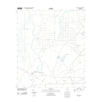
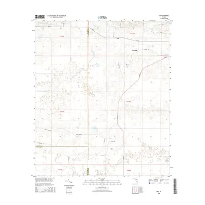
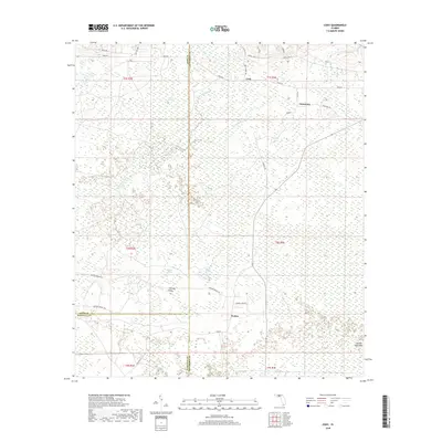
1954 Cody
Jefferson County, FL
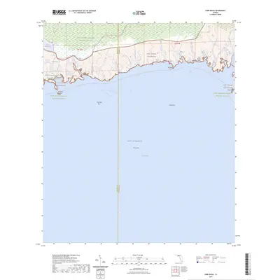
1954 St Marks NE
Jefferson County, FL

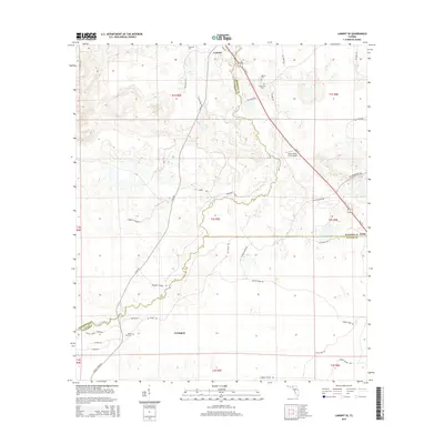
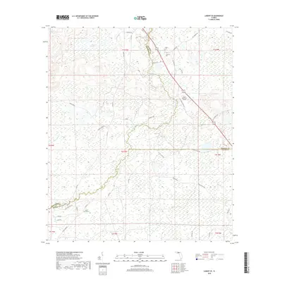
1955 Lamont SE
Jefferson County, FL
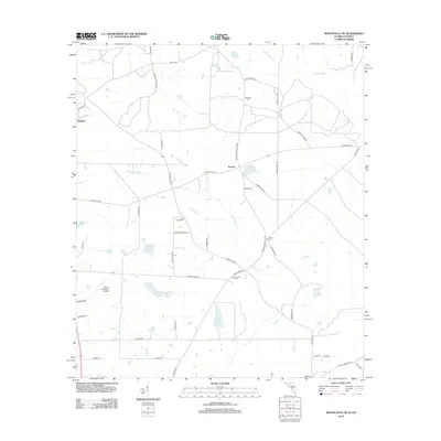
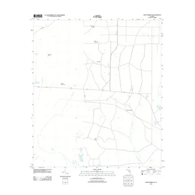
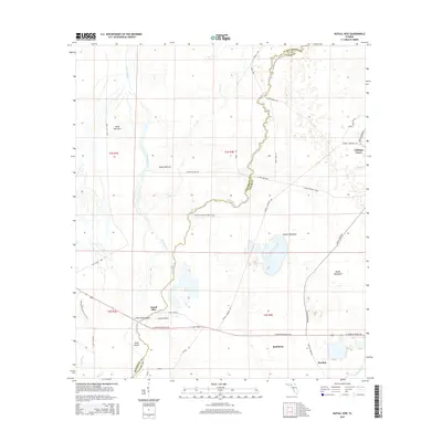
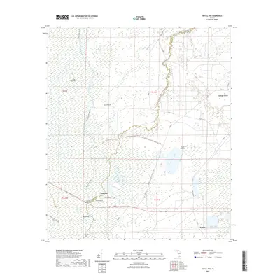
1955 Nutall Rise
Jefferson County, FL
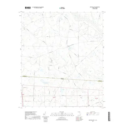
1956 Monticello NE
Jefferson County, FL
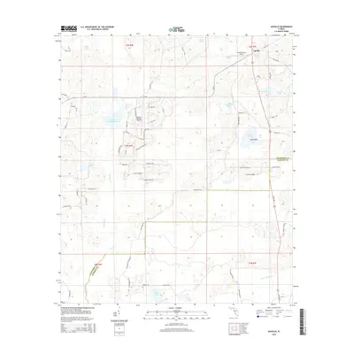
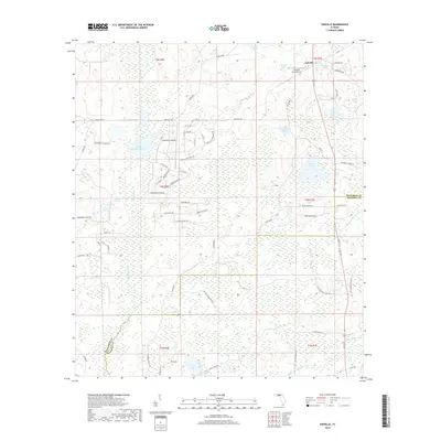
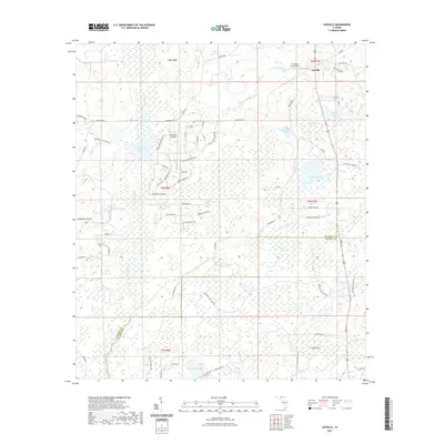
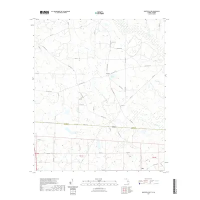
1962 Ashville
Jefferson County, FL
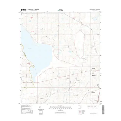
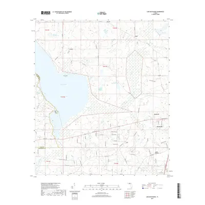
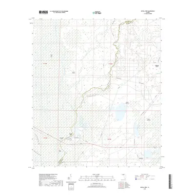
1963 Lake Miccosukee
Jefferson County, FL
1981 Cody
Jefferson County, FL
1982 Cobb Rocks
Jefferson County, FL
1982 Miccosukee NE
Jefferson County, FL
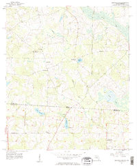
1982 St. Marks NE
Jefferson County, FL
1994 Cobb Rocks
Jefferson County, FL
1994 Miccosukee NE
Jefferson County, FL
2011 Monticello NE
Jefferson County, FL
2012 Ashville
Jefferson County, FL
2012 Cobb Rocks
Jefferson County, FL
2012 Cody
Jefferson County, FL
2012 Lake Miccosukee
Jefferson County, FL
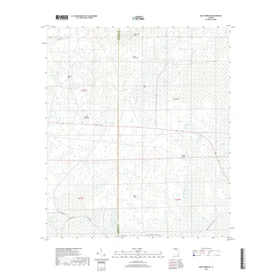
2012 Lamont SE
Jefferson County, FL
2012 Monticello NE
Jefferson County, FL
2012 Nutall Rise
Jefferson County, FL
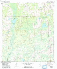
2012 Saint Marks NE
Jefferson County, FL
2015 Ashville
Jefferson County, FL
2015 Cobb Rocks
Jefferson County, FL
2015 Cody
Jefferson County, FL
2015 Lake Miccosukee
Jefferson County, FL
2015 Lamont SE
Jefferson County, FL
2015 Monticello NE
Jefferson County, FL
2015 Nutall Rise
Jefferson County, FL
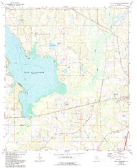
2015 Saint Marks NE
Jefferson County, FL
2018 Ashville
Jefferson County, FL
2018 Cobb Rocks
Jefferson County, FL
2018 Cody
Jefferson County, FL
2018 Lake Miccosukee
Jefferson County, FL
2018 Lamont SE
Jefferson County, FL
2018 Monticello NE
Jefferson County, FL
2018 Nutall Rise
Jefferson County, FL
2018 Saint Marks NE
Jefferson County, FL
2021 Ashville
Jefferson County, FL
2021 Cobb Rocks
Jefferson County, FL
2021 Cody
Jefferson County, FL
2021 Lake Miccosukee
Jefferson County, FL
2021 Lamont SE
Jefferson County, FL
2021 Monticello NE
Jefferson County, FL
2021 Nutall Rise
Jefferson County, FL
2021 Saint Marks NE
Jefferson County, FL

2024 Ashville
Jefferson County, FL
2024 Cobb Rocks
Jefferson County, FL
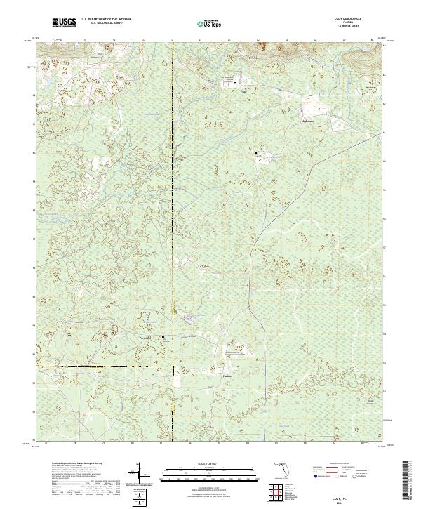
2024 Cody
Jefferson County, FL
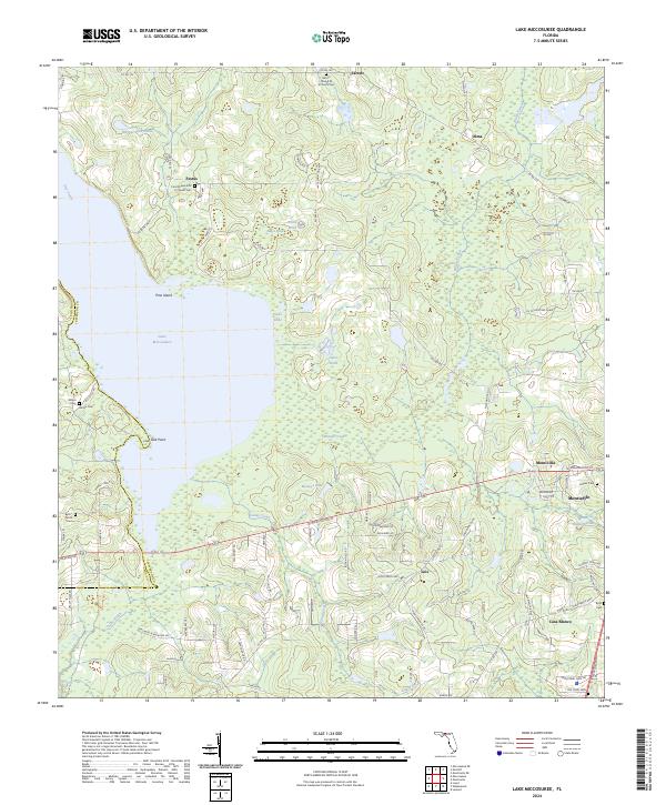
2024 Lake Miccosukee
Jefferson County, FL
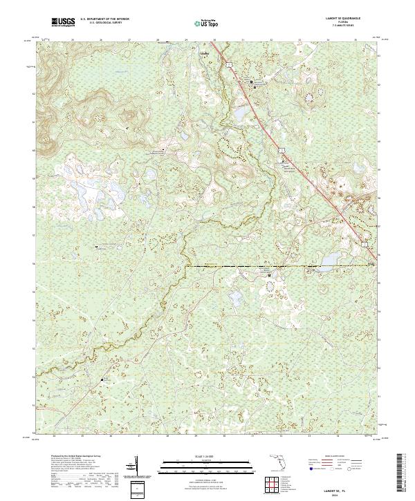
2024 Lamont SE
Jefferson County, FL
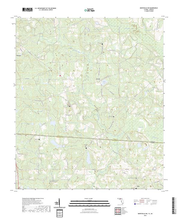
2024 Monticello NE
Jefferson County, FL
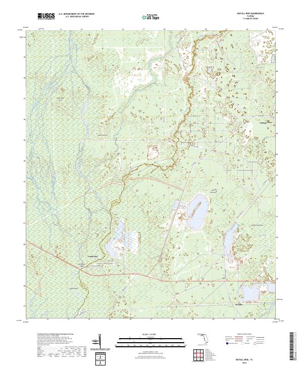
2024 Nutall Rise
Jefferson County, FL
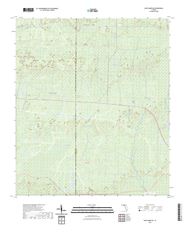
2024 Saint Marks NE
Jefferson County, FL
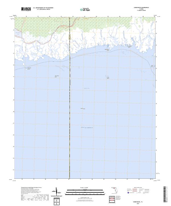
2025 Cobb Rocks
Jefferson County, FL