
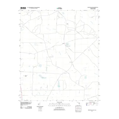
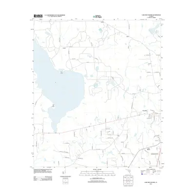
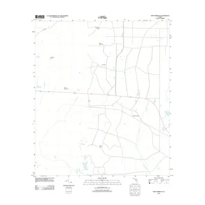
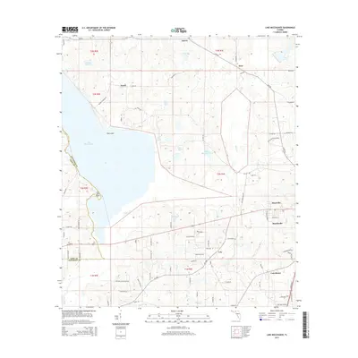
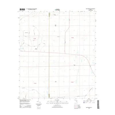
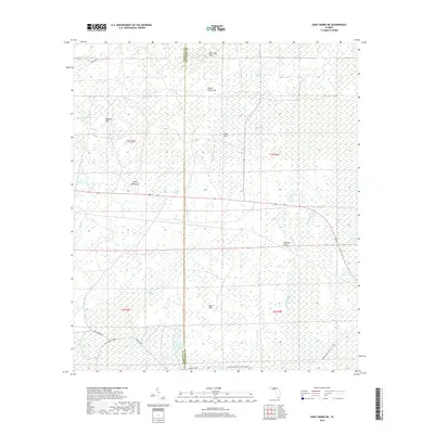
1955 Map of Lamont SE
USGS Topo · Published 1993About this map
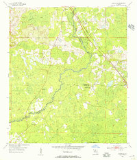
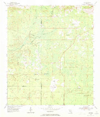
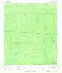
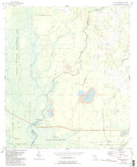
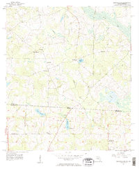
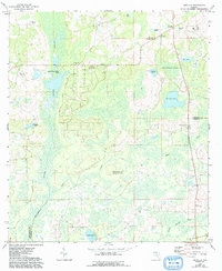
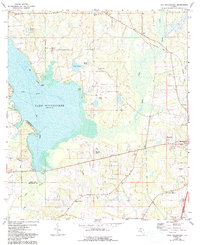
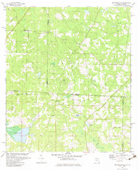
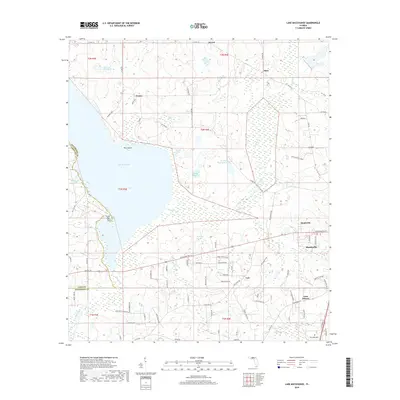
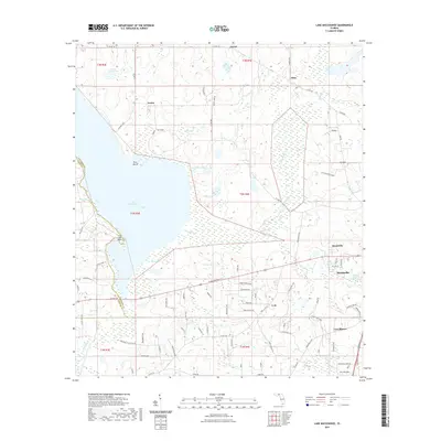
The Aucilla River winds through this landscape, serving as a natural boundary between Jefferson, Madison, and Taylor Counties. The terrain is defined by low-lying wetlands and the broad expanse of Anderson Bay in the north, punctuated by numerous small depressions and water bodies like Lake Jackson. Settlement patterns follow the higher ground near the river, with small communities like Lamont and Eridu connected by rural roads. For those researching local history, the map provides precise locations for several rural institutions, including the Allison Sch and Green Grove Sch, along with many family-named burial grounds. The distribution of Mt Olive Ch and Mt Gilead Ch reflects the community centers of the mid-20th century, while the presence of a Gaging Sta and multiple Borrow Pit sites indicates the era's focus on water management and road construction.
Find a feature on this map
19 named features on this map. Tap any name to fly to it.
Don’t see what you’re looking for? This feature index may not catch every label — zoom into the map to look around manually.
Map Details
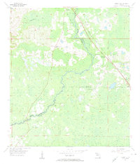
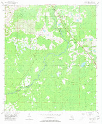
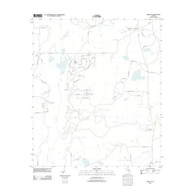
Editions of this 1955 Lamont SE Map
4 editions found
Historical Maps of Covington Through Time
56 maps found
1954 Cobb Rocks
Jefferson County, FL
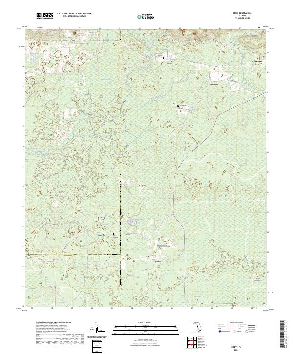
1954 Cody
Jefferson County, FL
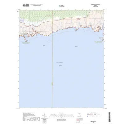
1954 St Marks NE
Jefferson County, FL
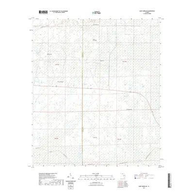
1955 Lamont SE
Jefferson County, FL
1955 Nutall Rise
Jefferson County, FL
1956 Monticello NE
Jefferson County, FL
1962 Ashville
Jefferson County, FL
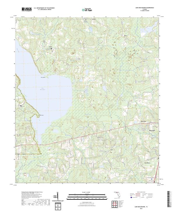
1963 Lake Miccosukee
Jefferson County, FL
1981 Cody
Jefferson County, FL
1982 Cobb Rocks
Jefferson County, FL
1982 Miccosukee NE
Jefferson County, FL
1982 St. Marks NE
Jefferson County, FL
1994 Cobb Rocks
Jefferson County, FL
1994 Miccosukee NE
Jefferson County, FL
2011 Monticello NE
Jefferson County, FL
2012 Ashville
Jefferson County, FL
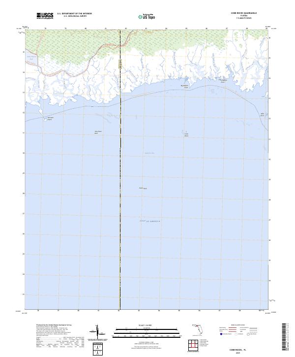
2012 Cobb Rocks
Jefferson County, FL
2012 Cody
Jefferson County, FL
2012 Lake Miccosukee
Jefferson County, FL
2012 Lamont SE
Jefferson County, FL
2012 Monticello NE
Jefferson County, FL
2012 Nutall Rise
Jefferson County, FL
2012 Saint Marks NE
Jefferson County, FL
2015 Ashville
Jefferson County, FL
2015 Cobb Rocks
Jefferson County, FL
2015 Cody
Jefferson County, FL
2015 Lake Miccosukee
Jefferson County, FL
2015 Lamont SE
Jefferson County, FL
2015 Monticello NE
Jefferson County, FL
2015 Nutall Rise
Jefferson County, FL
2015 Saint Marks NE
Jefferson County, FL
2018 Ashville
Jefferson County, FL
2018 Cobb Rocks
Jefferson County, FL
2018 Cody
Jefferson County, FL
2018 Lake Miccosukee
Jefferson County, FL
2018 Lamont SE
Jefferson County, FL
2018 Monticello NE
Jefferson County, FL
2018 Nutall Rise
Jefferson County, FL
2018 Saint Marks NE
Jefferson County, FL
2021 Ashville
Jefferson County, FL
2021 Cobb Rocks
Jefferson County, FL
2021 Cody
Jefferson County, FL
2021 Lake Miccosukee
Jefferson County, FL
2021 Lamont SE
Jefferson County, FL
2021 Monticello NE
Jefferson County, FL
2021 Nutall Rise
Jefferson County, FL
2021 Saint Marks NE
Jefferson County, FL

2024 Ashville
Jefferson County, FL
2024 Cobb Rocks
Jefferson County, FL
2024 Cody
Jefferson County, FL
2024 Lake Miccosukee
Jefferson County, FL
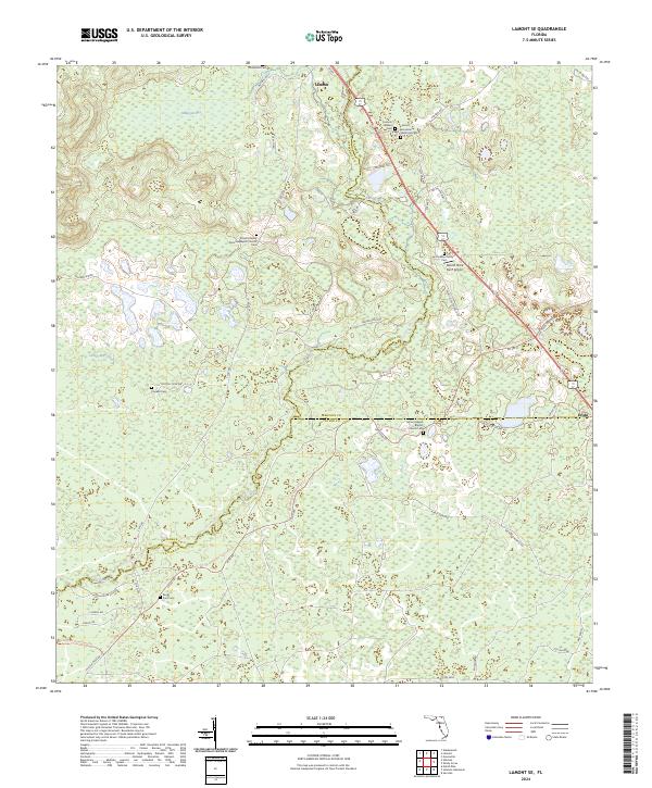
2024 Lamont SE
Jefferson County, FL
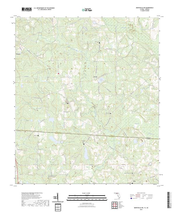
2024 Monticello NE
Jefferson County, FL
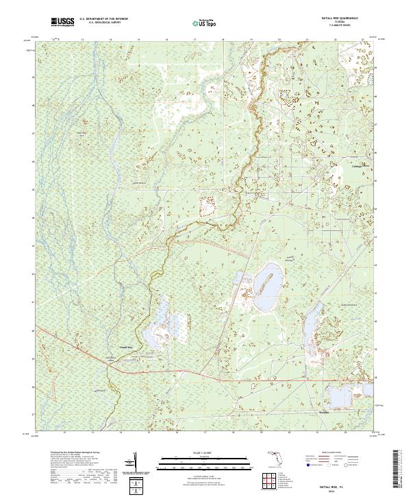
2024 Nutall Rise
Jefferson County, FL
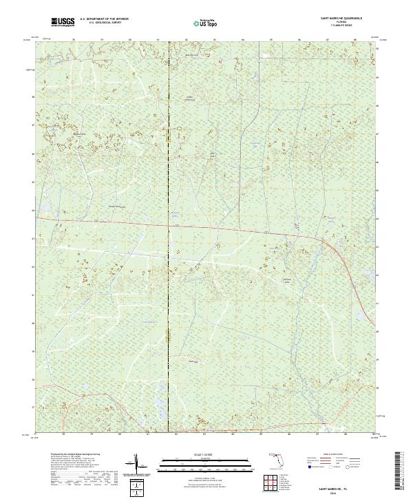
2024 Saint Marks NE
Jefferson County, FL
2025 Cobb Rocks
Jefferson County, FL