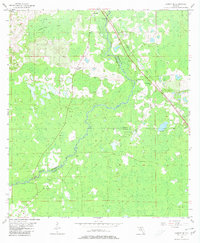
1955 Map of Lamont SE
USGS Topo · Published 1980About this map
The Aucilla River serves as a natural boundary between Jefferson, Madison, and Taylor Counties in this mid-century topographic record. While the settlement of Lamont occupies the northern edge, the surrounding landscape is defined by the dense vegetation of Anderson Bay and numerous low-lying wetlands. The area's social fabric is visible through scattered rural landmarks, including the Allison Sch and the Mt Gilead Ch.
Find a feature on this map
20 named features on this map. Tap any name to fly to it.
Don’t see what you’re looking for? This feature index may not catch every label — zoom into the map to look around manually.
Map Details
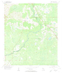
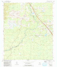
Editions of this 1955 Lamont SE Map
4 editions found
Other maps of this area

1952 · Secotan
USGS Topo · 1:24,000

1954 · Johnson Hammock
USGS Topo · 1:24,000

1954 · Secotan
USGS Topo · 1:24,000

1954 · Greenville
USGS Topo · 1:24,000

1954 · Valdosta
USGS Topo · 1:250,000

1955 · Lamont
USGS Topo · 1:24,000

1955 · Waukeenah
USGS Topo · 1:24,000

1955 · Shady Grove
USGS Topo · 1:24,000

1955 · Nutall Rise
USGS Topo · 1:24,000

1955 · Lamont SE
USGS Topo · 1:24,000