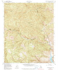
1958 Map of Cobblestone Mtn
USGS Topo · Published 1979About this map
Piru Creek carves a deep path through the eastern mountains of the Los Padres National Forest, marking a landscape defined by significant drainage systems and high-elevation peaks. The area is characterized by its network of remote outposts and campsites, including Hollister Campground, Cove Campground, and the uniquely named Tin Can Cabin Campground. The 1958 revision shows a region primarily managed for conservation and wildlife protection, notably within the Sespe Wildlife Area.
Find a feature on this map
54 named features on this map. Tap any name to fly to it.
Don’t see what you’re looking for? This feature index may not catch every label — zoom into the map to look around manually.
Map Details
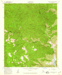
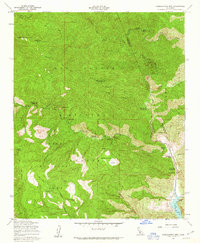
Editions of this 1958 Cobblestone Mtn Map
3 editions found
Other maps of this area

1900 · Piru
USGS Topo · 1:62,500

1903 · Tejon
USGS Topo · 1:125,000

1903 · Camulos
USGS Topo · 1:125,000

1903 · Santa Susana
USGS Topo · 1:62,500

1921 · Piru
USGS Topo · 1:62,500

1931 · Whitaker Peak
USGS Topo · 1:24,000

1931 · Santa Felicia Canyon
USGS Topo · 1:24,000

1932 · Beartrap Canyon
USGS Topo · 1:24,000

1935 · Santa Felicia Canyon
USGS Topo · 1:24,000

1935 · Whitaker Peak
USGS Topo · 1:24,000