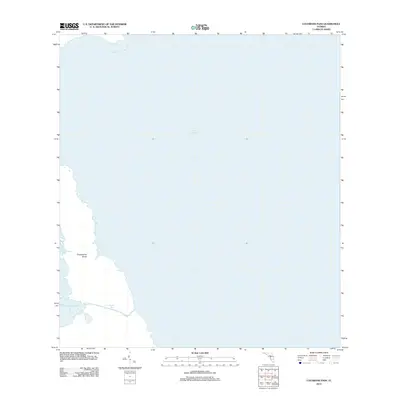
2012 Map of Cochrans Pass
USGS Topo · Published 2012About this map
Lake Okeechobee dominates this 2012 survey, illustrating the vast aquatic expanse and shifting shoreline of Florida's largest freshwater lake. The map focuses on the southeastern waters and the intricate boundary between the open lake and the marshy inlets of Palm Beach County. A primary point of interest is Cochrans Pass, a waterway providing a navigable route through the dense vegetation and shallow flats that characterize the shoreline transition. Nearby, Moonshine Bay offers a sheltered pocket in the landscape, while Observation Shoal marks a distinctive underwater terrain feature. This edition records the delicate hydrology of the Everglades ecosystem as it existed in the early 21st century, serving as a baseline for environmental study and local navigation before further sediment shifts or restoration projects altered the lake's southern profile.
Find a feature on this map
4 named features on this map. Tap any name to fly to it.
Don’t see what you’re looking for? This feature index may not catch every label — zoom into the map to look around manually.
Map Details
Editions of this 2012 Cochrans Pass Map
This is the sole edition of this map. No revisions or reprints were ever made.
Other maps of this area

1953 · Brighton SE
USGS Topo · 1:24,000

1953 · Okeechobee SW
USGS Topo · 1:24,000

1956 · West Palm Beach
USGS Topo · 1:250,000

1956 · Fort Pierce
USGS Topo · 1:250,000

1957 · West Palm Beach
USGS Topo · 1:250,000

1958 · Fort Pierce
USGS Topo · 1:250,000

1958 · West Palm Beach
USGS Topo · 1:250,000

1959 · Fort Pierce
USGS Topo · 1:250,000

1970 · Moore Haven
USGS Topo · 1:24,000
1971 · Fisheating Bay
USGS Topo · 1:24,000