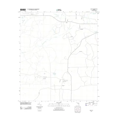
2012 Map of Cody
USGS Topo · Published 2012About this map
The Saint Marks River meanders through the karst landscape of Jefferson County in this 2012 survey, defining a region characterized by its unique hydrogeology. Scattered settlements like Cody and Limestone are connected by a network of rural routes such as Limestone Rd and Natural Bridge Rd, reflecting the area's agricultural and residential layout. The terrain is marked by numerous depressions and water features indicative of the local limestone geology, including Hardy Sink, Florida Sink, and the twin waters of Bryant Lake and Black Lake.
Find a feature on this map
24 named features on this map. Tap any name to fly to it.
Don’t see what you’re looking for? This feature index may not catch every label — zoom into the map to look around manually.
Map Details
Editions of this 2012 Cody Map
This is the sole edition of this map. No revisions or reprints were ever made.
Other maps of this area

1954 · Lloyd
USGS Topo · 1:24,000

1954 · Lafayette
USGS Topo · 1:24,000

1954 · Cody
USGS Topo · 1:24,000

1954 · Woodville
USGS Topo · 1:24,000

1954 · St. Marks NE
USGS Topo · 1:24,000

1954 · St. Marks
USGS Topo · 1:24,000

1954 · Valdosta
USGS Topo · 1:250,000

1954 · Tallahassee
USGS Topo · 1:250,000

1955 · Waukeenah
USGS Topo · 1:24,000

1955 · Nutall Rise
USGS Topo · 1:24,000