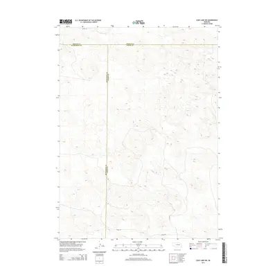
2014 Map of Cody Lake NW
USGS Topo · Published 2014About this map
Sandhills terrain dominates this region where three Nebraska counties converge in the early twenty-first century. The intersection of Thomas, McPherson, and Logan counties creates a jurisdictional tri-point in a landscape characterized by complex topographic relief and limited infrastructure. Transportation is restricted to a few established routes such as Kramer Rd and Lutes Rd in the southern portion of the map, and Connell Ln along the northern boundary. The sparse settlement pattern and the absence of established townships reflect the open, ranch-oriented land use typical of this high plains environment, where roads follow the natural contours of the undulating hills rather than a rigid grid.
Find a feature on this map
6 named features on this map. Tap any name to fly to it.
Don’t see what you’re looking for? This feature index may not catch every label — zoom into the map to look around manually.
Map Details
Editions of this 2014 Cody Lake NW Map
This is the sole edition of this map. No revisions or reprints were ever made.
Other maps of this area

1948 · Thedford
USGS Topo · 1:62,500

1949 · Cody Lake
USGS Topo · 1:62,500

1950 · Thedford
USGS Topo · 1:62,500

1950 · Shimmins Lake
USGS Topo · 1:62,500

1951 · Tryon
USGS Topo · 1:62,500

1951 · Cody Lake
USGS Topo · 1:62,500

1954 · North Platte
USGS Topo · 1:250,000

1956 · North Platte
USGS Topo · 1:250,000

1957 · North Platte
USGS Topo · 1:250,000

1967 · North Platte
USGS Topo · 1:250,000