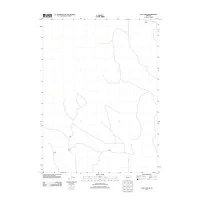
2011 Map of Cody Lake SW
USGS Topo · Published 2011About this map
Lone Valley occupies the northern edge of this Nebraska Sandhills terrain, characterized by the sparse road networks and large-scale cattle operations typical of McPherson County. The landscape is defined by its distinct absence of dense settlements, with local infrastructure primarily serving family-run holdings such as Oliver Ranch and Chapman Ranch. Two primary thoroughfares, Kramer Rd and Lariat Rd, provide the only significant access points through the undulating topography. This 2011 survey by the U.S. Geological Survey documents the enduring footprint of ranching life in the region, where named landmarks are often synonymous with the families who manage the land, including Jividen Ranch and Lair Ranch. The map provides a precise look at the distribution of these homesteads and the drainage patterns that sustain them.
Find a feature on this map
7 named features on this map. Tap any name to fly to it.
Don’t see what you’re looking for? This feature index may not catch every label — zoom into the map to look around manually.
Map Details
Editions of this 2011 Cody Lake SW Map
This is the sole edition of this map. No revisions or reprints were ever made.
Other maps of this area

1899 · North Platte
USGS Topo · 1:125,000

1902 · North Platte
USGS Topo · 1:125,000

1949 · Cody Lake
USGS Topo · 1:62,500

1951 · Tryon
USGS Topo · 1:62,500

1951 · Cody Lake
USGS Topo · 1:62,500

1954 · North Platte
USGS Topo · 1:250,000

1956 · North Platte
USGS Topo · 1:250,000

1957 · North Platte
USGS Topo · 1:250,000

1967 · North Platte
USGS Topo · 1:250,000

1972 · Stapleton NW
USGS Topo · 1:24,000