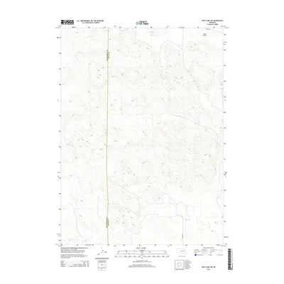
2014 Map of Cody Lake SW
USGS Topo · Published 2014About this map
Lone Valley sits in the northeast corner of this 2014 survey, a natural depression amidst the intricate sandhill topography of the Nebraska interior. This section of the Great Plains is defined by its minimal human development, where the landscape is dominated by complex contour patterns rather than dense settlement. The boundary between Mcpherson Co and Logan Co runs vertically through the western portion of the map, marking a political division in an otherwise continuous terrain of ridges and swales. Simple transport routes like Kramer Rd and Lariat Rd provide the only significant access through this open country, illustrating the sparse ranching-based infrastructure typical of the region in the early 21st century.
Find a feature on this map
4 named features on this map. Tap any name to fly to it.
Don’t see what you’re looking for? This feature index may not catch every label — zoom into the map to look around manually.
Map Details
Editions of this 2014 Cody Lake SW Map
This is the sole edition of this map. No revisions or reprints were ever made.
Other maps of this area

1899 · North Platte
USGS Topo · 1:125,000

1902 · North Platte
USGS Topo · 1:125,000

1949 · Cody Lake
USGS Topo · 1:62,500

1951 · Tryon
USGS Topo · 1:62,500

1951 · Cody Lake
USGS Topo · 1:62,500

1954 · North Platte
USGS Topo · 1:250,000

1956 · North Platte
USGS Topo · 1:250,000

1957 · North Platte
USGS Topo · 1:250,000

1967 · North Platte
USGS Topo · 1:250,000

1972 · Stapleton NW
USGS Topo · 1:24,000