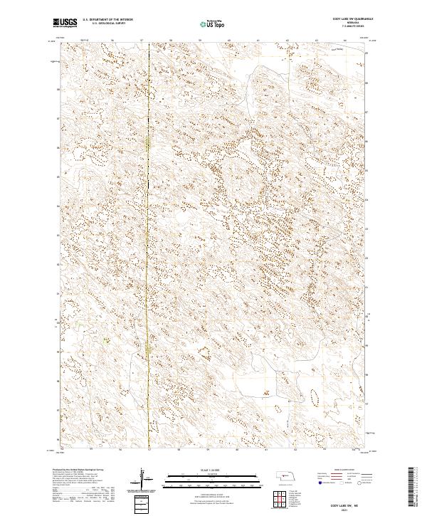
2021 Map of Cody Lake SW
USGS Topo · Published 2021About this map
Lone Valley defines the northern reaches of this section of the Nebraska Sandhills, a landscape shaped by stabilized dunes and interdunal valleys. This 2021 survey traces the boundary where McPherson and Logan Counties meet, revealing a remote and sparsely developed region where modern geography is defined by long-standing township lines and minimal infrastructure. The presence of Lariat Rd in the southeastern corner provides one of the few points of access into this interior terrain, highlighting the vast distances between established settlements in this part of the Great Plains. The topography of closed contours and small basins across t19n r29w and surrounding townships illustrates the unique geomorphology of the Sandhills, where the land is primarily organized by the Public Land Survey System rather than traditional town centers.
Find a feature on this map
7 named features on this map. Tap any name to fly to it.
Don’t see what you’re looking for? This feature index may not catch every label — zoom into the map to look around manually.
Map Details
Editions of this 2021 Cody Lake SW Map
This is the sole edition of this map. No revisions or reprints were ever made.
Other maps of this area

1899 · North Platte
USGS Topo · 1:125,000

1902 · North Platte
USGS Topo · 1:125,000

1949 · Cody Lake
USGS Topo · 1:62,500

1951 · Tryon
USGS Topo · 1:62,500

1951 · Cody Lake
USGS Topo · 1:62,500

1954 · North Platte
USGS Topo · 1:250,000

1956 · North Platte
USGS Topo · 1:250,000

1957 · North Platte
USGS Topo · 1:250,000

1967 · North Platte
USGS Topo · 1:250,000

1972 · Stapleton NW
USGS Topo · 1:24,000