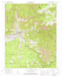
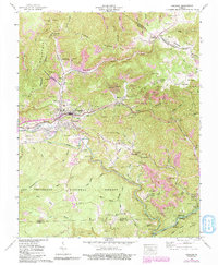
1957 Map of Coeburn
USGS Topo · Published 1978About this map
Coeburn serves as the central hub in this Virginia coal country survey, where the Norfolk and Western and Clinchfield railroads converge to move the region's mineral wealth. The landscape is defined by extensive industrial activity, including numerous strip mines and mine dumps lining the ridges near Banner and Vicco. This extraction economy exists alongside deep-rooted community landmarks, from the McClellan Chapel and Maude Chapel to the Greenwood School.
Find a feature on this map
114 named features on this map. Tap any name to fly to it.
Don’t see what you’re looking for? This feature index may not catch every label — zoom into the map to look around manually.
Map Details
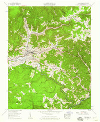
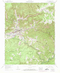
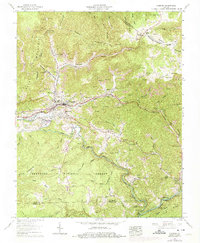
Editions of this 1957 Coeburn Map
5 editions found
Other maps of this area

1886 · Grundy
USGS Topo · 1:125,000

1890 · Whitesburg
USGS Topo · 1:125,000

1890 · Grundy
USGS Topo · 1:125,000

1892 · Grundy
USGS Topo · 1:125,000

1892 · Whitesburg
USGS Topo · 1:125,000

1894 · Estillville
USGS Topo · 1:125,000

1897 · Bristol
USGS Topo · 1:125,000

1902 · Bristol
USGS Topo · 1:125,000

1912 · Pound
USGS Topo · 1:48,000

1913 · Clintwood
USGS Topo · 1:62,500