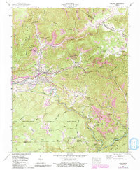
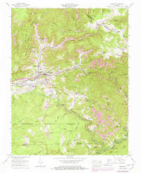
1957 Map of Coeburn
USGS Topo · Published 1991About this map
The Jefferson National Forest dominates the southern reaches of this Appalachian landscape, where the coal-rich ridges of Wise County meet the Guest River and Clinch River. Coal mining legacy is visible across the terrain, with numerous mine dumps and strip mines concentrated near Toms Creek and Banner. The town of Coeburn serves as the central hub, surrounded by smaller settlements like Bondtown, Maytown, and Riverview.
Find a feature on this map
90 named features on this map. Tap any name to fly to it.
Don’t see what you’re looking for? This feature index may not catch every label — zoom into the map to look around manually.
Map Details
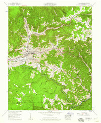
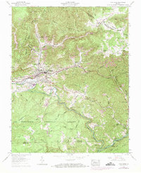
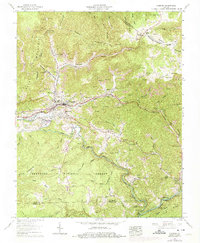
Editions of this 1957 Coeburn Map
5 editions found
Other maps of this area

1886 · Grundy
USGS Topo · 1:125,000

1890 · Whitesburg
USGS Topo · 1:125,000

1890 · Grundy
USGS Topo · 1:125,000

1892 · Grundy
USGS Topo · 1:125,000

1892 · Whitesburg
USGS Topo · 1:125,000

1894 · Estillville
USGS Topo · 1:125,000

1897 · Bristol
USGS Topo · 1:125,000

1902 · Bristol
USGS Topo · 1:125,000

1912 · Pound
USGS Topo · 1:48,000

1913 · Clintwood
USGS Topo · 1:62,500