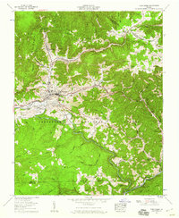
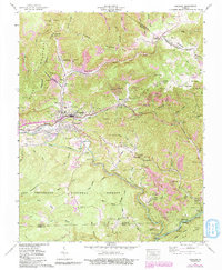
1957 Map of Toms Creek
USGS Topo · Published 1960About this map
The town of Coeburn serves as a central hub for this coal-country landscape during the late 1950s, where the Norfolk and Western and Clinchfield railroads dominate the valleys. The map illustrates a complex industrial environment defined by numerous strip mines and mine dumps that dot the ridges of Sandy Ridge and Guest Mountain. This era captures a transition in transportation as the early stages of Interstate 58 appear alongside established coal camps like Toms Creek and Banner.
Find a feature on this map
97 named features on this map. Tap any name to fly to it.
Don’t see what you’re looking for? This feature index may not catch every label — zoom into the map to look around manually.
Map Details
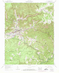
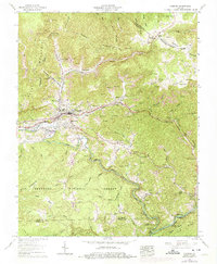
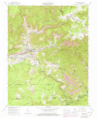
Editions of this 1957 Toms Creek Map
5 editions found
Other maps of this area

1886 · Grundy
USGS Topo · 1:125,000

1890 · Whitesburg
USGS Topo · 1:125,000

1890 · Grundy
USGS Topo · 1:125,000

1892 · Grundy
USGS Topo · 1:125,000

1892 · Whitesburg
USGS Topo · 1:125,000

1894 · Estillville
USGS Topo · 1:125,000

1897 · Bristol
USGS Topo · 1:125,000

1902 · Bristol
USGS Topo · 1:125,000

1912 · Pound
USGS Topo · 1:48,000

1913 · Clintwood
USGS Topo · 1:62,500