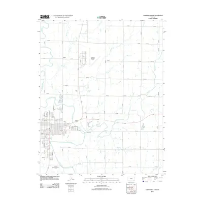
2012 Map of Coffeyville East
USGS Topo · Published 2012About this map
The Verdigris River serpentines along the western edge of this Montgomery County landscape, shaping the development of the city's eastern outskirts. Central to the local community is the Coffeyville Community Coll and the expansive Walter Johnson Park Rodeo Arena, reflecting the region's educational and cultural heritage. Aviation infrastructure is prominent with the Coffeyville Municipal Airport and the smaller settlement at Avian, while the rail history is noted by the Videtta Spur.
Find a feature on this map
80 named features on this map. Tap any name to fly to it.
Don’t see what you’re looking for? This feature index may not catch every label — zoom into the map to look around manually.
Map Details
Editions of this 2012 Coffeyville East Map
This is the sole edition of this map. No revisions or reprints were ever made.
Other maps of this area

1886 · Independence
USGS Topo · 1:125,000

1886 · Parsons
USGS Topo · 1:125,000

1893 · Parsons
USGS Topo · 1:125,000

1894 · Independence
USGS Topo · 1:125,000

1901 · Nowata
USGS Topo · 1:125,000

1901 · Vinita
USGS Topo · 1:125,000

1905 · Independence
USGS Topo · 1:125,000

1913 · Vinita
USGS Topo · 1:125,000

1914 · Nowata
USGS Topo · 1:125,000

1946 · Mound Valley
USGS Topo · 1:62,500