
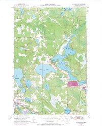
1953 Map of Cohasset East
USGS Topo · Published 1955About this map
Cohasset sits at the confluence of Bass Brook and the Mississippi River, serving as a focal point for this 1950s look at the Minnesota Iron Range. The landscape is defined by an intricate network of waterways, including the expansive Prairie Lake and Shoal Lake, which are interspersed with distinctive terrain features like Mankie Island and Mallard Point. The Great Northern railroad tracks cut through the southern portion of the sheet, providing the industrial backbone for the region's extraction and transit economy.
Find a feature on this map
30 named features on this map. Tap any name to fly to it.
Don’t see what you’re looking for? This feature index may not catch every label — zoom into the map to look around manually.
Map Details
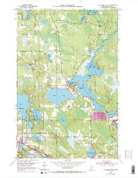
Editions of this 1953 Cohasset East Map
3 editions found
Other maps of this area

1920 · Trout Lake
USGS Topo · 1:62,500

1952 · Bovey
USGS Topo · 1:24,000

1953 · Siseebakwet Lake
USGS Topo · 1:24,000

1953 · Cohasset West
USGS Topo · 1:24,000

1953 · Grand Rapids
USGS Topo · 1:24,000

1954 · Hibbing
USGS Topo · 1:250,000

1957 · Hibbing
USGS Topo · 1:250,000

1958 · Hibbing
USGS Topo · 1:250,000

1964 · Hibbing
USGS Topo · 1:250,000

1969 · La Prairie
USGS Topo · 1:24,000