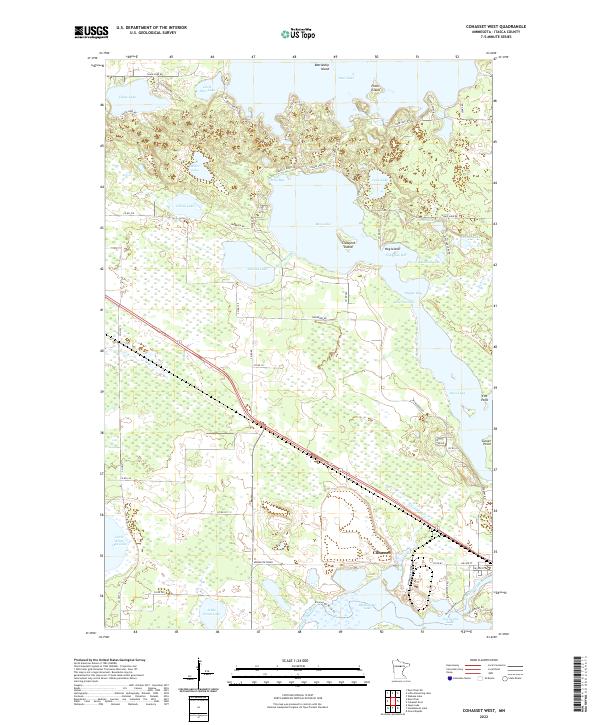
2022 Map of Cohasset West
USGS Topo · Published 2022About this map
The Mississippi River winds through the southern reaches of this landscape, feeding into Blackwater Lake and passing the Minnesota Power facility near Cohasset. This area of Itasca County is defined by a dense network of glacial lakes and connected waterways, where larger bodies like Bass Lake and Deer Lake are punctuated by distinctive landforms such as Battleship Island and Crawford Island. The map reveals a complex system of local transit, including N Portage Trl and various county roads that provide access to points like Echo Bay and Fishhouse Bay. In the southwest, smaller basins such as Little White Oak Lake and Little Drum Lake are interspersed with wetland areas, illustrating the hydrologic character of the Upper Mississippi basin. The presence of the Mississippi River Trl near Jay Gould Lake highlights the modern recreational and historical utility of these ancient water routes.
Find a feature on this map
67 named features on this map. Tap any name to fly to it.
Don’t see what you’re looking for? This feature index may not catch every label — zoom into the map to look around manually.
Map Details
Editions of this 2022 Cohasset West Map
This is the sole edition of this map. No revisions or reprints were ever made.
Other maps of this area

1953 · Cohasset East
USGS Topo · 1:24,000

1953 · Siseebakwet Lake
USGS Topo · 1:24,000

1953 · Cohasset West
USGS Topo · 1:24,000

1953 · Grand Rapids
USGS Topo · 1:24,000

1954 · Hibbing
USGS Topo · 1:250,000

1957 · Hibbing
USGS Topo · 1:250,000

1958 · Hibbing
USGS Topo · 1:250,000

1964 · Hibbing
USGS Topo · 1:250,000

1970 · Deer River NE
USGS Topo · 1:24,000

1970 · Wabana Lake
USGS Topo · 1:24,000