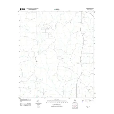
2012 Map of Cohay
USGS Topo · Published 2012About this map
Oakhay Cr and its tributaries define the drainage of this Smith County landscape, where the settlements of Union and Cohay serve as local anchors. The area's economic character is shaped by natural resource extraction, evidenced by the Raleigh Oil Field in the north and the South Center Ridge Oil Field in the southeast. Industrial transport routes like the Georgia Pacific Lndg connect the timber and oil interests to the broader region.
Find a feature on this map
66 named features on this map. Tap any name to fly to it.
Don’t see what you’re looking for? This feature index may not catch every label — zoom into the map to look around manually.
Map Details
Editions of this 2012 Cohay Map
This is the sole edition of this map. No revisions or reprints were ever made.
Other maps of this area

1935 · White Oak
USGS Topo · 1:24,000

1953 · Hattiesburg
USGS Topo · 1:250,000

1953 · Meridian
USGS Topo · 1:250,000

1957 · Meridian
USGS Topo · 1:250,000

1958 · Hattiesburg
USGS Topo · 1:250,000

1965 · Meridian
USGS Topo · 1:250,000

1968 · White Oak
USGS Topo · 1:24,000

1968 · Raleigh
USGS Topo · 1:24,000

1968 · Louin SW
USGS Topo · 1:24,000
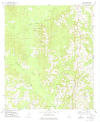
1975 · Cohay
USGS Topo · 1:24,000