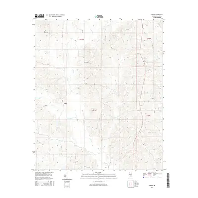
2015 Map of Cohay
USGS Topo · Published 2015About this map
The waters of Oakohay Creek and its many tributaries, including Hatchapaloo Creek and Cole Branch, define this section of Smith County. The landscape is marked by the presence of the energy industry, with Oil Field Road and Raleigh Oil Field Road cutting through the terrain. These roads suggest the importance of local extraction to the regional economy alongside more traditional rural settlements.
Find a feature on this map
25 named features on this map. Tap any name to fly to it.
Don’t see what you’re looking for? This feature index may not catch every label — zoom into the map to look around manually.
Map Details
Editions of this 2015 Cohay Map
This is the sole edition of this map. No revisions or reprints were ever made.
Other maps of this area

1935 · White Oak
USGS Topo · 1:24,000

1953 · Hattiesburg
USGS Topo · 1:250,000

1953 · Meridian
USGS Topo · 1:250,000

1957 · Meridian
USGS Topo · 1:250,000

1958 · Hattiesburg
USGS Topo · 1:250,000

1965 · Meridian
USGS Topo · 1:250,000

1968 · White Oak
USGS Topo · 1:24,000

1968 · Raleigh
USGS Topo · 1:24,000

1968 · Louin SW
USGS Topo · 1:24,000
1975 · Cohay
USGS Topo · 1:24,000