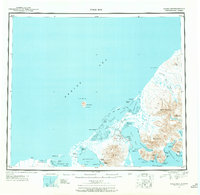
1943 Map of Cold Bay
USGS Topo · Published 1969About this map
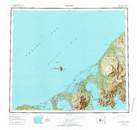
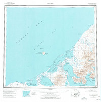
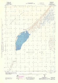
Thornbrough Air Force Base stands as a significant military installation on this reconnaissance survey, situated between the expansive Izembek Lagoon and Cold Bay. The landscape is dominated by the volcanic topography of the Alaska Peninsula, where peaks like Frosty Peak, Mt Dutton, and the striking Aghileen Pinnacles rise above the coastal lowlands. Coastal activity is centered around established settlements such as King Cove and Belkofski, as well as industrial sites like the Cannery (Abandoned) located near Morzhovoi Bay. Navigation in the treacherous waters of the Bering Sea and Deer Passage is aided by Sealion Rocks Light, reflecting the maritime reliance of the era. The mapping, derived from 1942 and 1943 aerial photography, reveals the remote outpost character of these communities during the war years, providing a clear record of shoreline features from Cape Leontovich to the Isanotski Is at the peninsula's tip.
Find a feature on this map
62 named features on this map. Tap any name to fly to it.
Don’t see what you’re looking for? This feature index may not catch every label — zoom into the map to look around manually.
Map Details
Editions of this 1943 Cold Bay Map
7 editions found
Other maps of this area

1943 · Fort Randall
USGS Topo · 1:250,000
1944 · Cold Bay Sheet No. 20 of 25
USGS Topo · 1:25,000
1944 · Cold Bay Sheet No. 1 of 25
USGS Topo · 1:25,000
1944 · Cold Bay Sheet No. 2 of 25
USGS Topo · 1:25,000

1949 · False Pass
USGS Topo · 1:250,000

1949 · Fort Randall
USGS Topo · 1:250,000

1950 · False Pass
USGS Topo · 1:250,000

1950 · Fort Randall
USGS Topo · 1:250,000

1951 · Unimak
USGS Topo · 1:250,000

1953 · Port Moller
USGS Topo · 1:250,000