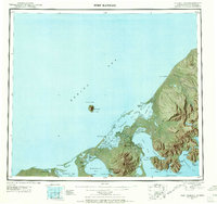
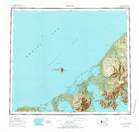
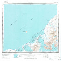
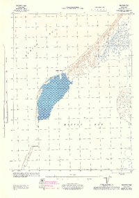
1943 Map of Fort Randall
USGS Topo · Published 1964About this map
Fort Randall and the adjacent Thornbrough Air Force Base anchor this mid-century survey of the lower Alaska Peninsula. The map documents a critical period of military infrastructure established during the war years, situated between the vast Bering Sea and the complex coastline of Cold Bay. Coastal settlements like King Cove and Belkofski are noted alongside maritime features essential for navigation, including the Sealion Rocks Light and Kitchen Anchorage.
Find a feature on this map
66 named features on this map. Tap any name to fly to it.
Don’t see what you’re looking for? This feature index may not catch every label — zoom into the map to look around manually.
Map Details
Editions of this 1943 Fort Randall Map
7 editions found
Other maps of this area

1943 · Fort Randall
USGS Topo · 1:250,000
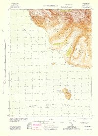
1944 · Cold Bay Sheet No. 20 of 25
USGS Topo · 1:25,000
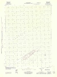
1944 · Cold Bay Sheet No. 1 of 25
USGS Topo · 1:25,000
1944 · Cold Bay Sheet No. 2 of 25
USGS Topo · 1:25,000

1949 · False Pass
USGS Topo · 1:250,000

1949 · Fort Randall
USGS Topo · 1:250,000

1950 · False Pass
USGS Topo · 1:250,000

1950 · Fort Randall
USGS Topo · 1:250,000

1951 · Unimak
USGS Topo · 1:250,000

1953 · Port Moller
USGS Topo · 1:250,000