1943 Map of Cold Bay
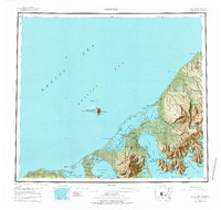
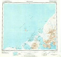
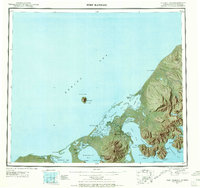
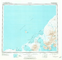
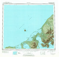
USGS Topo · Published 1977About this map
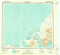
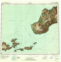
The rugged tip of the Alaska Peninsula and the eastern Aleutians appear here in a mid-century reconnaissance, dominated by the volcanic forms of Frosty Peak and Mt Dutton. The landscape is a complex network of lagoons and bays, with Izembek Lagoon and Moffet Lagoon carving into the northern coastline. Human activity centers around the deep water of Cold Bay, where Thornbrough Air Force Base stands as a vital strategic outpost.
Find a feature on this map
108 named features on this map. Tap any name to fly to it.
Don’t see what you’re looking for? This feature index may not catch every label — zoom into the map to look around manually.
Map Details
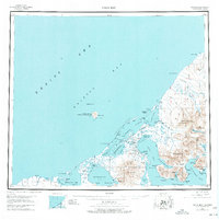
Editions of this 1943 Cold Bay Map
7 editions found
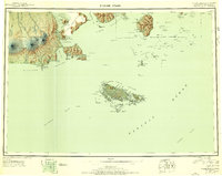
Other maps of this area
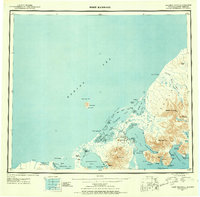
1943 · Fort Randall
USGS Topo · 1:250,000

1944 · Cold Bay Sheet No. 20 of 25
USGS Topo · 1:25,000

1944 · Cold Bay Sheet No. 1 of 25
USGS Topo · 1:25,000

1944 · Cold Bay Sheet No. 2 of 25
USGS Topo · 1:25,000
1949 · False Pass
USGS Topo · 1:250,000

1949 · Fort Randall
USGS Topo · 1:250,000
1950 · False Pass
USGS Topo · 1:250,000
1950 · Fort Randall
USGS Topo · 1:250,000
1951 · Unimak
USGS Topo · 1:250,000

1953 · Port Moller
USGS Topo · 1:250,000