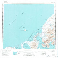
1943 Map of Cold Bay
USGS Topo · Published 1977About this map
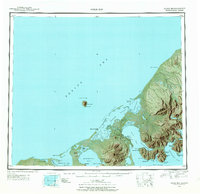
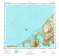
Thornbrough Air Force Base stands at the pivot of this coastal landscape, reflecting the strategic military importance of the Alaska Peninsula during the early 1940s. The map documents a rugged interface between the Bering Sea and the North Pacific, defined by dramatic geological features like the Aghileen Pinnacles and Frosty Peak. Traditional settlements and industrial sites are visible along the southern coastline, including the village of Belkofski and a Cannery (Aband) near Reynolds Head.
Find a feature on this map
75 named features on this map. Tap any name to fly to it.
Don’t see what you’re looking for? This feature index may not catch every label — zoom into the map to look around manually.
Map Details
Editions of this 1943 Cold Bay Map
7 editions found
Other maps of this area

1943 · Fort Randall
USGS Topo · 1:250,000
1944 · Cold Bay Sheet No. 20 of 25
USGS Topo · 1:25,000
1944 · Cold Bay Sheet No. 1 of 25
USGS Topo · 1:25,000
1944 · Cold Bay Sheet No. 2 of 25
USGS Topo · 1:25,000

1949 · False Pass
USGS Topo · 1:250,000

1949 · Fort Randall
USGS Topo · 1:250,000

1950 · False Pass
USGS Topo · 1:250,000

1950 · Fort Randall
USGS Topo · 1:250,000

1951 · Unimak
USGS Topo · 1:250,000

1953 · Port Moller
USGS Topo · 1:250,000