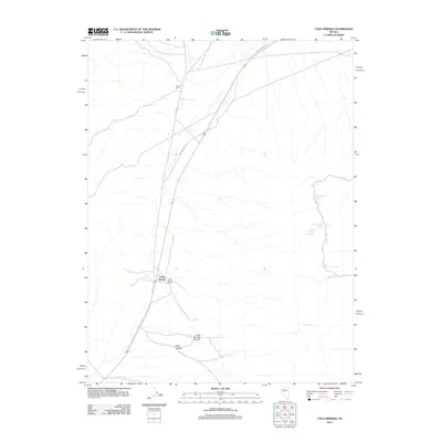
2012 Map of Cold Springs
USGS Topo · Published 2012About this map
Cold Springs sits at a historic crossroads in this high desert basin, where modern transit aligns with the path of the Old Overland Rd. The settlement pattern is defined by isolated ranching outposts such as the Alpine Ranch and Cold Spring Ranch, situated near the reliable water sources that dictated movement across this arid landscape. These sites reflect the enduring reliance on springs and canyons for survival in the Great Basin.
Find a feature on this map
14 named features on this map. Tap any name to fly to it.
Don’t see what you’re looking for? This feature index may not catch every label — zoom into the map to look around manually.
Map Details
Editions of this 2012 Cold Springs Map
This is the sole edition of this map. No revisions or reprints were ever made.
Other maps of this area

1955 · Millett
USGS Topo · 1:250,000

1959 · Millett
USGS Topo · 1:250,000

1966 · Clan Alpine Ranch
USGS Topo · 1:62,500

1966 · Edwards Creek Valley
USGS Topo · 1:62,500

1969 · Camp Creek Canyon
USGS Topo · 1:24,000

1969 · Cold Springs
USGS Topo · 1:24,000

1969 · Desatoya Peak
USGS Topo · 1:24,000

1969 · Carroll Summit
USGS Topo · 1:24,000

1969 · Basque Summit
USGS Topo · 1:24,000

1969 · Eastgate
USGS Topo · 1:24,000