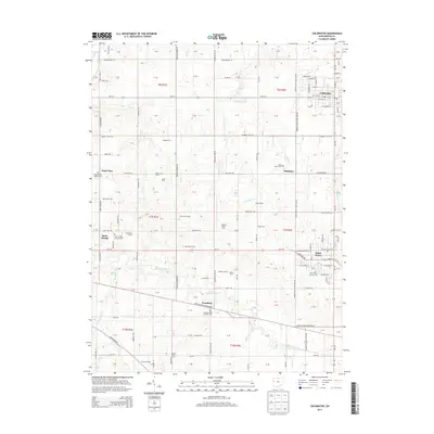
2013 Map of Coldwater
USGS Topo · Published 2013About this map
Mercer County's agricultural heritage is etched across this landscape, where the headwaters of the Wabash River wind through a grid of long-established family farmsteads. Several distinct Catholic parish communities anchor the rural surroundings, including Saint Peter, Philothea, and Saint Joseph, each centered around historic cemeteries such as Saint Peters Catholic Cem and Saint Marys Cem. These settlements, along with Wendelin to the south, represent the enduring German-Catholic settlement patterns of western Ohio.
Find a feature on this map
137 named features on this map. Tap any name to fly to it.
Don’t see what you’re looking for? This feature index may not catch every label — zoom into the map to look around manually.
Map Details
Editions of this 2013 Coldwater Map
This is the sole edition of this map. No revisions or reprints were ever made.
Other maps of this area

1908 · St. Henry
USGS Topo · 1:62,500

1911 · Berne
USGS Topo · 1:48,000

1914 · Celina
USGS Topo · 1:62,500

1915 · Fort Recovery
USGS Topo · 1:48,000

1918 · Fort Recovery
USGS Topo · 1:62,500

1944 · Celina
USGS Topo · 1:62,500

1953 · Muncie
USGS Topo · 1:250,000

1956 · Muncie
USGS Topo · 1:250,000

1960 · Fort Recovery
USGS Topo · 1:24,000
1960 · Celina
USGS Topo · 1:24,000