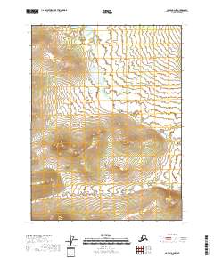
2018 Map of Coleen B-2 NW
USGS Topo · Published 2018About this map
U.S. Department of the Interior surveyors documented this interior reach of the Yukon-Koyukuk Census Area, a landscape defined by dramatic elevation changes and subarctic wetlands. The mapping of T31n R26e, T31n R27e, T30n R26e, and T30n R27e shows a territory largely devoid of established roads or settlements, where the topographic relief provides the primary landmarks. Contour lines reveal a series of prominent peaks and ridgelines separated by low-lying basins containing scattered ponds and drainage networks. The lack of modern infrastructure highlights the area's isolation within the larger Coleen River region, where land use is dictated by the challenging terrain and the presence of private holdings within government reservations.
Find a feature on this map
4 named features on this map. Tap any name to fly to it.
Don’t see what you’re looking for? This feature index may not catch every label — zoom into the map to look around manually.
Map Details
Editions of this 2018 Coleen B-2 NW Map
This is the sole edition of this map. No revisions or reprints were ever made.
Other maps of this area

1951 · Coleen
USGS Topo · 1:250,000

1956 · Coleen
USGS Topo · 1:250,000

1956 · Coleen B-2
USGS Topo · 1:63,360
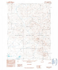
1990 · Coleen C-2
USGS Topo · 1:63,360
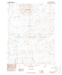
1990 · Coleen B-3
USGS Topo · 1:63,360
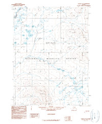
1990 · Coleen C-3
USGS Topo · 1:63,360
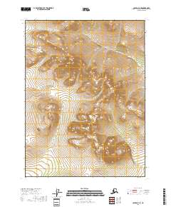
2018 · Coleen C-2 SE
USGS Topo · 1:25,000
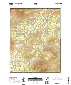
2018 · Coleen B-2 SW
USGS Topo · 1:25,000
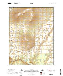
2018 · Coleen B-2 NE
USGS Topo · 1:25,000
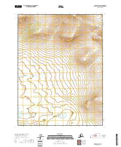
2018 · Coleen C-2 SW
USGS Topo · 1:25,000