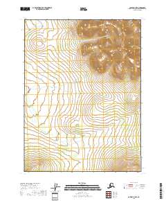
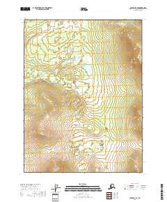
2018 Map of Coleen B-3 NW
USGS Topo · Published 2018About this map
The northern reaches of the Rabbit Mtn range dominate this remote section of the Yukon-Koyukuk Census Area. This landscape, surveyed in 2018, is defined by significant elevation changes, with the peaks and ridgelines of Rabbit Mtn providing the primary geographical relief in an otherwise vast expanse of subarctic wilderness. The topography revealed here emphasizes the stark, high-altitude character of the Brooks Range foothills, where dramatic contour lines trace the ascent toward the mountain crest. Aside from these physical features, the sheet is primarily characterized by its Public Land Survey System grids, including t31n r24e and t31n r25e, which organize this largely undeveloped terrain for administrative and resource management purposes.
Find a feature on this map
7 named features on this map. Tap any name to fly to it.
Don’t see what you’re looking for? This feature index may not catch every label — zoom into the map to look around manually.
Map Details
Editions of this 2018 Coleen B-3 NW Map
This is the sole edition of this map. No revisions or reprints were ever made.
Other maps of this area

1951 · Coleen
USGS Topo · 1:250,000

1956 · Coleen
USGS Topo · 1:250,000
1990 · Coleen B-3
USGS Topo · 1:63,360
1990 · Coleen C-4
USGS Topo · 1:63,360
1990 · Coleen C-3
USGS Topo · 1:63,360
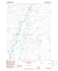
1990 · Coleen B-4
USGS Topo · 1:63,360
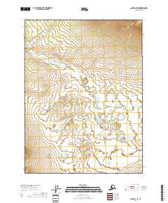
2018 · Coleen C-3 SE
USGS Topo · 1:25,000
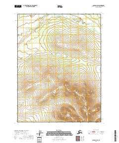
2018 · Coleen C-3 SW
USGS Topo · 1:25,000
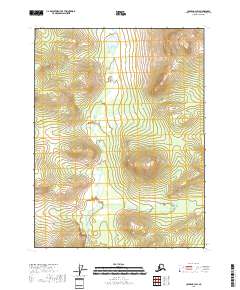
2018 · Coleen B-3 SW
USGS Topo · 1:25,000
2018 · Coleen B-4 SE
USGS Topo · 1:25,000