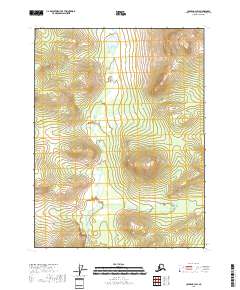
2018 Map of Coleen B-3 SW
USGS Topo · Published 2018About this map
Fish Creek winds through this interior landscape, cutting a path through the diverse elevations of the Yukon-Koyukuk Census Area. This 2018 survey highlights the intricate drainage patterns where the creek meanders across township lines, including t29n r24e and t28n r24e. The terrain is characterized by dramatic shifts in topography, with distinct ridges rising between the watercourses, providing a clear view of the natural corridors used by wildlife and occasional travelers in this part of northern Alaska. Unlike more settled regions, the map is dominated by these natural hydrological and land-survey divisions, emphasizing the vast, undeveloped character of the territory during the early twenty-first century.
Find a feature on this map
7 named features on this map. Tap any name to fly to it.
Don’t see what you’re looking for? This feature index may not catch every label — zoom into the map to look around manually.
Map Details
Editions of this 2018 Coleen B-3 SW Map
This is the sole edition of this map. No revisions or reprints were ever made.
Other maps of this area

1951 · Coleen
USGS Topo · 1:250,000

1956 · Coleen
USGS Topo · 1:250,000

1956 · Coleen A-3
USGS Topo · 1:63,360

1956 · Coleen A-4
USGS Topo · 1:63,360
1990 · Coleen B-3
USGS Topo · 1:63,360
1990 · Coleen B-4
USGS Topo · 1:63,360
2018 · Coleen A-3 NW
USGS Topo · 1:25,000
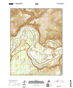
2018 · Coleen A-3 NE
USGS Topo · 1:25,000
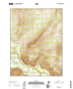
2018 · Coleen A-4 NE
USGS Topo · 1:25,000
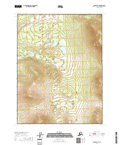
2018 · Coleen B-4 SE
USGS Topo · 1:25,000