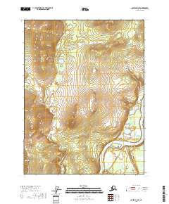
2018 Map of Coleen A-3 NW
USGS Topo · Published 2018About this map
The Porcupine River carves a winding path through the southeastern corner of this landscape, serving as the dominant hydrological feature of this remote subarctic region. Flowing through the Yukon-Koyukuk Census Area, the river is a historic corridor for navigation and subsistence in the Alaskan interior. To the west, the drainage of Fish Cr moves across the undulating terrain, defining the local watershed patterns within the townships of t28n r24e and t27n r24e. The map illustrates the characteristic topographic transition from the river valley's low-lying areas to the higher elevations in the north and west, providing a precise look at the land's contours before these waters join larger systems downstream.
Find a feature on this map
6 named features on this map. Tap any name to fly to it.
Don’t see what you’re looking for? This feature index may not catch every label — zoom into the map to look around manually.
Map Details
Editions of this 2018 Coleen A-3 NW Map
This is the sole edition of this map. No revisions or reprints were ever made.
Other maps of this area

1951 · Coleen
USGS Topo · 1:250,000

1956 · Coleen
USGS Topo · 1:250,000

1956 · Coleen A-3
USGS Topo · 1:63,360

1956 · Coleen A-4
USGS Topo · 1:63,360
1990 · Coleen B-3
USGS Topo · 1:63,360
1990 · Coleen B-4
USGS Topo · 1:63,360
2018 · Coleen A-3 NE
USGS Topo · 1:25,000
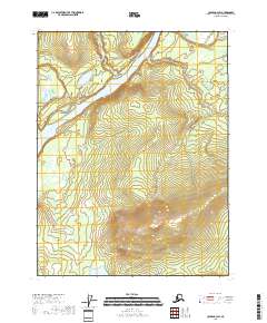
2018 · Coleen A-3 SW
USGS Topo · 1:25,000
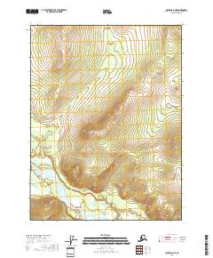
2018 · Coleen A-4 NE
USGS Topo · 1:25,000
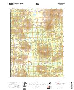
2018 · Coleen B-3 SW
USGS Topo · 1:25,000