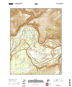
2018 Map of Coleen A-3 NE
USGS Topo · Published 2018About this map
Canyon Village sits along a sweeping southward curve of the Porcupine River, marking a point of human habitation in a landscape defined by dramatic river meanders and shifting island formations. This 2018 survey documents the intricate hydrologic patterns of the river corridor, where the water creates landforms such as Fishhook Bend and Henry Martin Island. The terrain is shaped by these fluvial processes, with numerous oxbow lakes and wetlands scattered across the flats. The map serves as a detailed record of this remote portion of the Yukon-Koyukuk Census Area, showing the relationship between the small settlement and the seasonal cycles of the river system that provides its primary connection to the surrounding region.
Find a feature on this map
8 named features on this map. Tap any name to fly to it.
Don’t see what you’re looking for? This feature index may not catch every label — zoom into the map to look around manually.
Map Details
Editions of this 2018 Coleen A-3 NE Map
This is the sole edition of this map. No revisions or reprints were ever made.
Other maps of this area

1951 · Coleen
USGS Topo · 1:250,000

1956 · Coleen
USGS Topo · 1:250,000

1956 · Coleen B-2
USGS Topo · 1:63,360

1956 · Coleen A-3
USGS Topo · 1:63,360

1956 · Coleen A-2
USGS Topo · 1:63,360
1990 · Coleen B-3
USGS Topo · 1:63,360
2018 · Coleen A-2 NW
USGS Topo · 1:25,000
2018 · Coleen B-2 SW
USGS Topo · 1:25,000
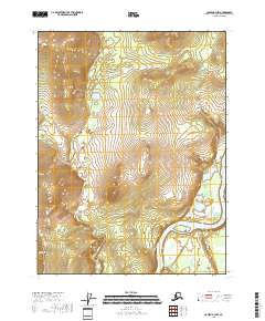
2018 · Coleen A-3 NW
USGS Topo · 1:25,000
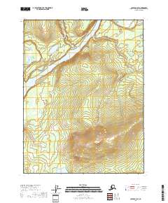
2018 · Coleen A-3 SW
USGS Topo · 1:25,000