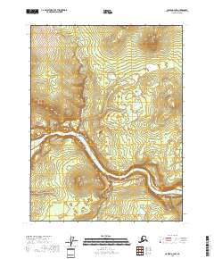
2018 Map of Coleen A-2 NW
USGS Topo · Published 2018About this map
The Porcupine River carves a dramatic path through this section of the Yukon-Koyukuk region, defining the landscape with significant geological features. Central to the area's character is the sharp bend at Howling Dog Canyon, where the water is flanked by the distinctive landmark of Howling Dog Rock. This topography creates a natural bottleneck and passage, further emphasized by the narrow formation identified as Red Gate upstream.
Find a feature on this map
10 named features on this map. Tap any name to fly to it.
Don’t see what you’re looking for? This feature index may not catch every label — zoom into the map to look around manually.
Map Details
Editions of this 2018 Coleen A-2 NW Map
This is the sole edition of this map. No revisions or reprints were ever made.
Other maps of this area

1951 · Coleen
USGS Topo · 1:250,000

1956 · Coleen
USGS Topo · 1:250,000

1956 · Coleen B-2
USGS Topo · 1:63,360

1956 · Coleen A-3
USGS Topo · 1:63,360

1956 · Coleen A-2
USGS Topo · 1:63,360
1990 · Coleen B-3
USGS Topo · 1:63,360
2018 · Coleen A-2 SE
USGS Topo · 1:25,000
2018 · Coleen B-2 SW
USGS Topo · 1:25,000
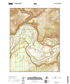
2018 · Coleen A-3 NE
USGS Topo · 1:25,000
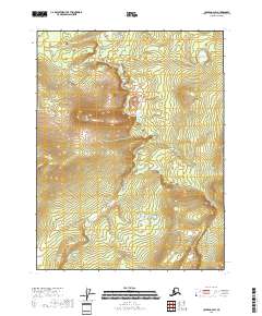
2018 · Coleen A-2 SW
USGS Topo · 1:25,000