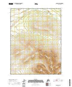
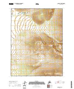
2018 Map of Coleen C-3 SW
USGS Topo · Published 2018About this map
Rabbit Mtn rises in the southeastern reaches of this landscape, its topography defined by steep contours that descend toward the sprawling hydrography of the north. The drainage basin is dominated by the meandering course of Lake Cr, which flows through the northern sections of the township boundaries. This area of the Yukon-Koyukuk Census Area is mapped with a focus on these natural watercourses and significant elevations, illustrating a wilderness shaped by its hydrological patterns. The map documents the vast, unnamed expanse surrounding these two primary landmarks, emphasizing the scale of the interior terrain in the early twenty-first century. The intersection of Range and Township lines, such as t31n r24e and t32n r24e, provides the primary structure for locating these features within the broader territorial grid.
Find a feature on this map
8 named features on this map. Tap any name to fly to it.
Don’t see what you’re looking for? This feature index may not catch every label — zoom into the map to look around manually.
Map Details
Editions of this 2018 Coleen C-3 SW Map
This is the sole edition of this map. No revisions or reprints were ever made.
Other maps of this area

1951 · Coleen
USGS Topo · 1:250,000

1956 · Coleen
USGS Topo · 1:250,000
1990 · Coleen B-3
USGS Topo · 1:63,360
1990 · Coleen C-4
USGS Topo · 1:63,360
1990 · Coleen C-3
USGS Topo · 1:63,360
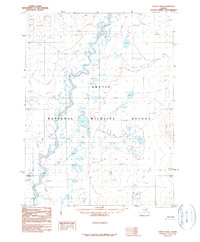
1990 · Coleen B-4
USGS Topo · 1:63,360
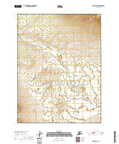
2018 · Coleen C-3 SE
USGS Topo · 1:25,000
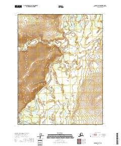
2018 · Coleen C-4 SE
USGS Topo · 1:25,000
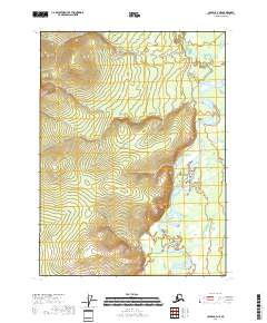
2018 · Coleen C-4 NE
USGS Topo · 1:25,000
2018 · Coleen C-3 NE
USGS Topo · 1:25,000