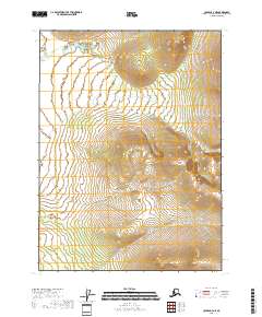
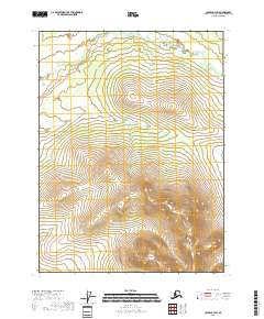
2018 Map of Coleen C-3 NE
USGS Topo · Published 2018About this map
Dorothy Creek flows through the northern reaches of this remote landscape in the Yukon-Koyukuk region, defining the primary drainage pattern across the high-latitude terrain. The topography is marked by significant elevation changes, with the watercourse of Dorothy Cr winding between prominent ridges that rise over 2,000 feet. This 2018 survey documents the Public Land Survey System grid for Township 33 North and Township 34 North, where the rugged natural contours remain largely undisturbed by modern infrastructure. The map serves as a detailed record of the hydrography and elevation before further changes to this interior Alaskan wilderness, highlighting the relationship between the narrow creek valleys and the surrounding upland slopes.
Find a feature on this map
8 named features on this map. Tap any name to fly to it.
Don’t see what you’re looking for? This feature index may not catch every label — zoom into the map to look around manually.
Map Details
Editions of this 2018 Coleen C-3 NE Map
This is the sole edition of this map. No revisions or reprints were ever made.
Other maps of this area

1951 · Coleen
USGS Topo · 1:250,000

1956 · Coleen
USGS Topo · 1:250,000
1972 · Coleen D-2
USGS Topo · 1:63,360
1972 · Coleen D-3
USGS Topo · 1:63,360
1990 · Coleen C-2
USGS Topo · 1:63,360
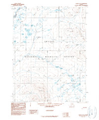
1990 · Coleen C-3
USGS Topo · 1:63,360
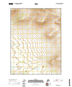
2018 · Coleen C-2 SW
USGS Topo · 1:25,000
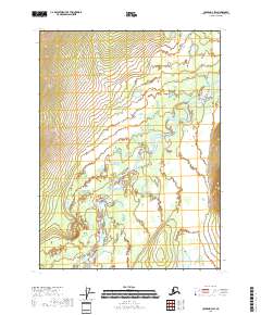
2018 · Coleen D-3 SW
USGS Topo · 1:25,000
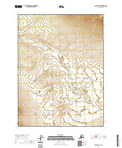
2018 · Coleen C-3 SE
USGS Topo · 1:25,000
2018 · Coleen C-3 SW
USGS Topo · 1:25,000