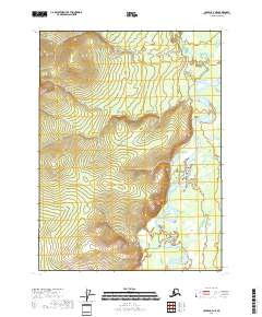
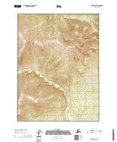
2018 Map of Coleen C-4 NE
USGS Topo · Published 2018About this map
Coleen River winds through this undeveloped subarctic terrain within the Yukon-Koyukuk Census Area. The landscape is defined by the braided channels of the river as it flows southward, flanked by the drainage of Procrastination Cr and Pass Creek. This 2018 survey reveals a territory devoid of permanent settlements or road infrastructure, instead illustrating the complex natural hydrology of the region. Detailed contouring across township boundaries such as t33n r23e and t34n r22e provides a precise record of the elevation changes that guide these remote waterways. For those studying the wilderness of the Alaskan interior, the map offers a clear view of the untouched physical geography and the shifting gravel bars and islands within the Coleen's path.
Find a feature on this map
9 named features on this map. Tap any name to fly to it.
Don’t see what you’re looking for? This feature index may not catch every label — zoom into the map to look around manually.
Map Details
Editions of this 2018 Coleen C-4 NE Map
This is the sole edition of this map. No revisions or reprints were ever made.
Other maps of this area

1951 · Coleen
USGS Topo · 1:250,000

1956 · Coleen
USGS Topo · 1:250,000
1972 · Coleen D-4
USGS Topo · 1:63,360
1972 · Coleen D-3
USGS Topo · 1:63,360
1990 · Coleen C-4
USGS Topo · 1:63,360
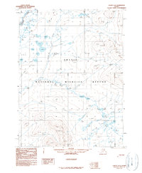
1990 · Coleen C-3
USGS Topo · 1:63,360
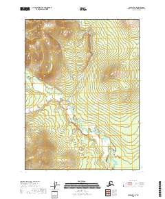
2018 · Coleen D-4 SE
USGS Topo · 1:25,000
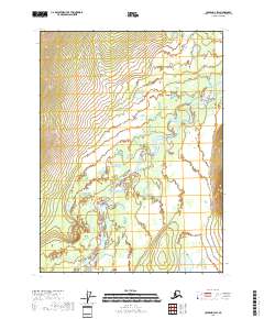
2018 · Coleen D-3 SW
USGS Topo · 1:25,000
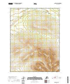
2018 · Coleen C-3 SW
USGS Topo · 1:25,000
2018 · Coleen C-4 NW
USGS Topo · 1:25,000