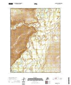
2018 Map of Coleen C-4 SE
USGS Topo · Published 2018About this map
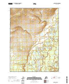
The Coleen River meanders through this section of the Yukon-Koyukuk Census Area, defining a landscape shaped by glacial and alluvial forces. This 2018 survey reveals a terrain defined by high topographic relief where the river valley sits between steep, unnamed ridges. Tributaries such as Boulder Creek and Lake Cr drain the surrounding uplands, cutting through the high elevation contours that characterize the eastern and western edges of the sheet. The map represents a purely wilderness area within the Arctic, showing no permanent settlements, roads, or named man-made structures, emphasizing the remote nature of the Coleen River corridor near the northern interior of Alaska.
Find a feature on this map
7 named features on this map. Tap any name to fly to it.
Don’t see what you’re looking for? This feature index may not catch every label — zoom into the map to look around manually.
Map Details
Editions of this 2018 Coleen C-4 SE Map
This is the sole edition of this map. No revisions or reprints were ever made.
Other maps of this area

1951 · Coleen
USGS Topo · 1:250,000

1956 · Coleen
USGS Topo · 1:250,000
1990 · Coleen B-3
USGS Topo · 1:63,360
1990 · Coleen C-4
USGS Topo · 1:63,360
1990 · Coleen C-3
USGS Topo · 1:63,360
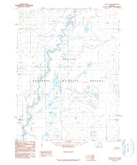
1990 · Coleen B-4
USGS Topo · 1:63,360
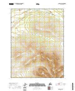
2018 · Coleen C-3 SW
USGS Topo · 1:25,000
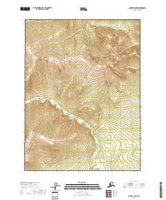
2018 · Coleen C-4 NW
USGS Topo · 1:25,000
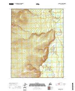
2018 · Coleen C-4 NE
USGS Topo · 1:25,000
2018 · Coleen B-4 NW
USGS Topo · 1:25,000