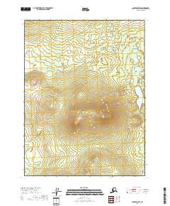
2018 Map of Coleen B-5 SW
USGS Topo · Published 2018About this map
Chandalar Cr and Grayling Cr define the hydrological character of this sub-arctic expanse in the eastern Brooks Range foothills. Situated within the Yukon-Koyukuk Census Area, the terrain is mapped across several township boundaries including t29n r19e, t29n r20e, t28n r19e, and t28n r20e. The map illustrates a landscape of significant elevation changes, with prominent peaks reaching above 1,700 feet. The absence of roads or established settlements on this 2018 survey emphasizes the extreme isolation of this portion of Alaska, where the drainage patterns of small creeks are the primary landmarks for navigation and land management.
Find a feature on this map
6 named features on this map. Tap any name to fly to it.
Don’t see what you’re looking for? This feature index may not catch every label — zoom into the map to look around manually.
Map Details
Editions of this 2018 Coleen B-5 SW Map
This is the sole edition of this map. No revisions or reprints were ever made.
Other maps of this area

1951 · Coleen
USGS Topo · 1:250,000

1956 · Coleen
USGS Topo · 1:250,000

1956 · Coleen A-5
USGS Topo · 1:63,360
1956 · Coleen A-6
USGS Topo · 1:63,360
1990 · Coleen B-5
USGS Topo · 1:63,360
1990 · Coleen B-6
USGS Topo · 1:63,360
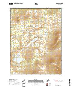
2018 · Coleen A-5 NW
USGS Topo · 1:25,000
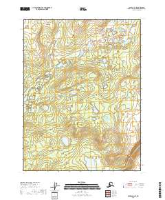
2018 · Coleen A-6 NE
USGS Topo · 1:25,000
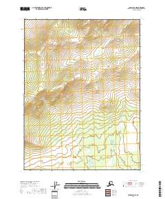
2018 · Coleen B-5 NE
USGS Topo · 1:25,000
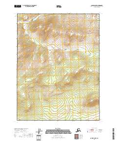
2018 · Coleen B-5 NW
USGS Topo · 1:25,000