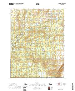
2018 Map of Coleen A-6 NE
USGS Topo · Published 2018About this map
Chandalar River dominates this portion of the Alaskan interior, winding through a landscape of wetlands and scattered water bodies. The topography is defined by the hydrological network of Chandalar Creek and Chandalar Cr, which flow through various townships including t28n r18e and t27n r19e. The map highlights a saturated terrain where the ground is frequently broken by small ponds and marshes. To the south, Big Rat Lake serves as a significant landmark in a region otherwise characterized by isolated seasonal water features and high-latitude vegetation patterns. This 2018 study is primarily a hydrological and topographical record, showing the natural state of the Yukon-Koyukuk Census Area without any permanent road infrastructure or named settlements present in the immediate vicinity.
Find a feature on this map
8 named features on this map. Tap any name to fly to it.
Don’t see what you’re looking for? This feature index may not catch every label — zoom into the map to look around manually.
Map Details
Editions of this 2018 Coleen A-6 NE Map
This is the sole edition of this map. No revisions or reprints were ever made.
Other maps of this area

1951 · Coleen
USGS Topo · 1:250,000

1956 · Coleen
USGS Topo · 1:250,000

1956 · Coleen A-5
USGS Topo · 1:63,360
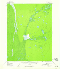
1956 · Coleen A-6
USGS Topo · 1:63,360
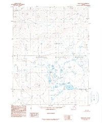
1990 · Coleen B-5
USGS Topo · 1:63,360
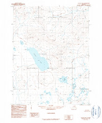
1990 · Coleen B-6
USGS Topo · 1:63,360
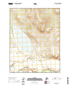
2018 · Coleen A-5 SW
USGS Topo · 1:25,000
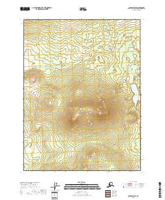
2018 · Coleen B-5 SW
USGS Topo · 1:25,000
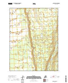
2018 · Coleen A-6 NW
USGS Topo · 1:25,000
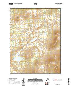
2018 · Coleen A-5 NW
USGS Topo · 1:25,000