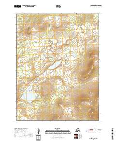
2018 Map of Coleen A-5 NW
USGS Topo · Published 2018About this map
The Alaskan wilderness in the Yukon-Koyukuk Census Area is meticulously charted in this 2018 survey, focusing on the remote intersection of T28n R19e, T28n R20e, T27n R19e, and T27n R20e. This topographic study reveals a landscape dominated by complex hydrography, featuring a high density of small lakes and extensive wetland systems characteristic of the far north. The terrain transitions from low-lying marshy basins to isolated, rounded summits, with contour lines illustrating the subtle elevation changes that dictate the drainage patterns across these township boundaries. While devoid of named settlements or infrastructure, the map provides an essential baseline for understanding the natural geography and land divisions within this undeveloped interior region.
Find a feature on this map
4 named features on this map. Tap any name to fly to it.
Don’t see what you’re looking for? This feature index may not catch every label — zoom into the map to look around manually.
Map Details
Editions of this 2018 Coleen A-5 NW Map
This is the sole edition of this map. No revisions or reprints were ever made.
Other maps of this area

1951 · Coleen
USGS Topo · 1:250,000

1956 · Coleen
USGS Topo · 1:250,000

1956 · Coleen A-5
USGS Topo · 1:63,360
1956 · Coleen A-6
USGS Topo · 1:63,360
1990 · Coleen B-5
USGS Topo · 1:63,360
1990 · Coleen B-6
USGS Topo · 1:63,360
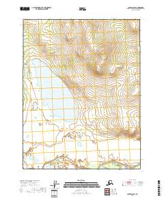
2018 · Coleen A-5 SW
USGS Topo · 1:25,000
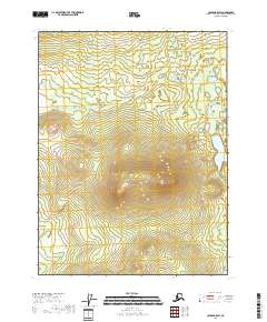
2018 · Coleen B-5 SW
USGS Topo · 1:25,000
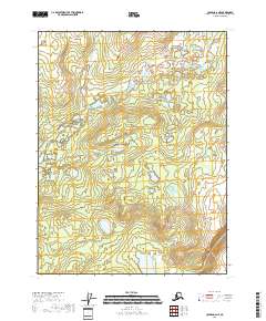
2018 · Coleen A-6 NE
USGS Topo · 1:25,000
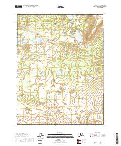
2018 · Coleen A-6 SE
USGS Topo · 1:25,000