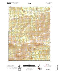
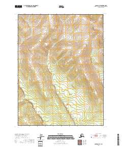
2018 Map of Coleen B-6 NE
USGS Topo · Published 2018About this map
Boulder Cr flows through the northern reaches of this map, winding through the expansive interior of the Yukon-Koyukuk Census Area. This 2018 survey by the U.S. Geological Survey focuses on a largely uninhabited landscape, dominated by the natural drainage patterns of the region. The map provides a detailed study of the terrain across four primary townships: T31n R18e, T31n R19e, T30n R18e, and T30n R19e. Without roads or settlements, the topography itself becomes the primary subject, illustrating the remote and untouched character of northern Alaska as it remained in the early 21st century. Researchers and collectors of Alaskan geography can trace the specific course of the creek and its relationship to the surrounding elevation contours.
Find a feature on this map
5 named features on this map. Tap any name to fly to it.
Don’t see what you’re looking for? This feature index may not catch every label — zoom into the map to look around manually.
Map Details
Editions of this 2018 Coleen B-6 NE Map
This is the sole edition of this map. No revisions or reprints were ever made.
Other maps of this area

1951 · Coleen
USGS Topo · 1:250,000

1956 · Coleen
USGS Topo · 1:250,000
1983 · Coleen C-6
USGS Topo · 1:63,360
1990 · Coleen B-5
USGS Topo · 1:63,360
1990 · Coleen B-6
USGS Topo · 1:63,360
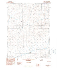
1990 · Coleen C-5
USGS Topo · 1:63,360
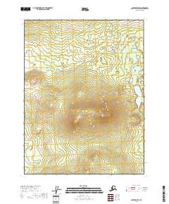
2018 · Coleen B-5 SW
USGS Topo · 1:25,000
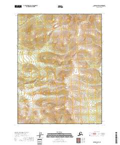
2018 · Coleen C-6 SW
USGS Topo · 1:25,000
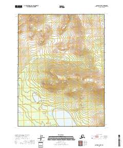
2018 · Coleen B-6 NW
USGS Topo · 1:25,000
2018 · Coleen C-6 SE
USGS Topo · 1:25,000